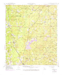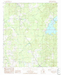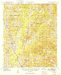
1949 Map of Jamestown
USGS Topo · Published 1949About this map
Jamestown and Sparta anchor this 1949 topographic study of the rolling pinelands and bottomlands where Webster and Bienville Parishes meet. The landscape is defined by the winding course of Black Lake Bayou and its numerous tributaries, including Leatherman Creek and Brushy Creek. This era of Louisiana history is marked here by a high density of rural institutions, from the Ebenezer Sch and Baltimore Sch to the Rosenwald Sch, reflecting the segregated educational infrastructure of the mid-20th century.
Find a feature on this map
66 named features on this map. Tap any name to fly to it.
Don’t see what you’re looking for? This feature index may not catch every label — zoom into the map to look around manually.
Map Details
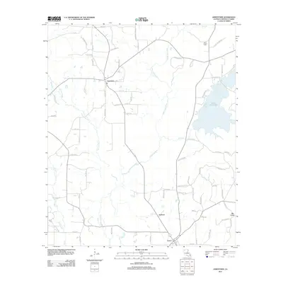
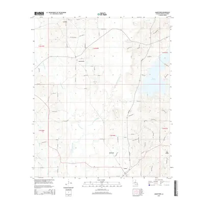
Editions of this 1949 Jamestown Map
This is the sole edition of this map. No revisions or reprints were ever made.
Historical Maps of Lucky Through Time
8 maps found