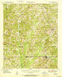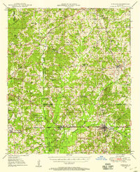
1949 Map of Gibsland
USGS Topo · Published 1958About this map
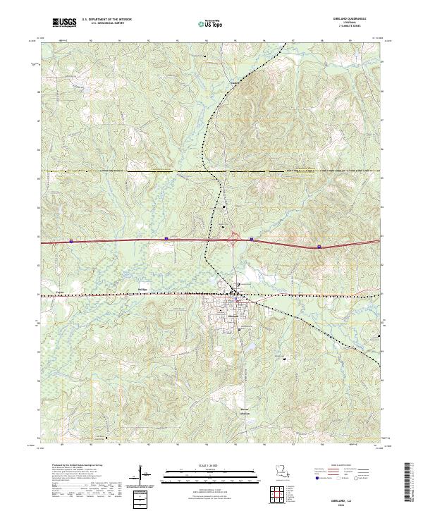
The Illinois Central Railroad and the Louisiana and North West Railroad intersect at the town of Gibsland, marking a period of significant industrial and agricultural coordination in the post-war era. This mid-century landscape is defined by its rural community centers, where schools like Pleasant Valley Sch and Calhoun Sch served scattered farmsteads. The region's subsurface wealth is clearly indicated by the sprawling Athens Gas Field and numerous Gas Well sites, which represent the energy economy that transformed northern Louisiana during this time.
Find a feature on this map
74 named features on this map. Tap any name to fly to it.
Don’t see what you’re looking for? This feature index may not catch every label — zoom into the map to look around manually.
Map Details
Editions of this 1949 Gibsland Map
2 editions found
Historical Maps of Minden Through Time
8 maps found