
1948 Map of Jamestown
USGS Topo · Published 1960About this map
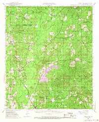
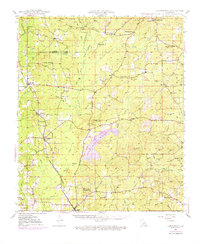
Webster and Bienville Parishes meet in this mid-century landscape defined by small rural settlements and a dense network of country schools and churches. Jamestown and Castor serve as local hubs along the Louisiana and Arkansas railroad line, while the historical significance of the area is anchored by the Mt. Lebanon Cemetery and Old Pioneer Cemetery to the north.
Find a feature on this map
55 named features on this map. Tap any name to fly to it.
Don’t see what you’re looking for? This feature index may not catch every label — zoom into the map to look around manually.
Map Details
Editions of this 1948 Jamestown Map
3 editions found
Other maps of this area

1947 · Ringgold
USGS Topo · 1:62,500

1947 · Goldonna
USGS Topo · 1:62,500

1947 · Ashland
USGS Topo · 1:62,500

1947 · Bienville
USGS Topo · 1:62,500

1947 · Minden
USGS Topo · 1:62,500

1948 · Coushatta
USGS Topo · 1:62,500

1949 · Jamestown
USGS Topo · 1:62,500

1949 · Bienville
USGS Topo · 1:62,500

1949 · Minden
USGS Topo · 1:62,500

1949 · Gibsland
USGS Topo · 1:62,500