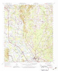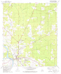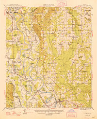
1948 Map of Coushatta
USGS Topo · Published 1948About this map
Coushatta and the surrounding river bottomlands of Red River Parish are defined by the winding course of the Red River during the late 1940s. The landscape is a dense network of oxbow lakes, including Prudhomme Lake and Crichton Lake, and backwater sloughs that reveal the river's historical shifts. Commercial life and transport follow the Texas and Pacific Railway and the Louisiana and Arkansas Railway, which connect small agrarian settlements like Westdale, Gahagan, and Armistead.
Find a feature on this map
124 named features on this map. Tap any name to fly to it.
Don’t see what you’re looking for? This feature index may not catch every label — zoom into the map to look around manually.
Map Details
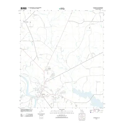
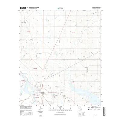
Editions of this 1948 Coushatta Map
This is the sole edition of this map. No revisions or reprints were ever made.
Historical Maps of Coushatta Through Time
8 maps found