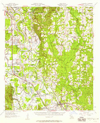
1957 Map of Coushatta
USGS Topo · Published 1983About this map
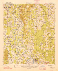
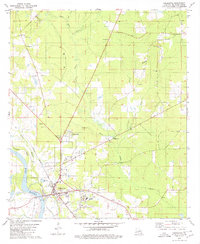
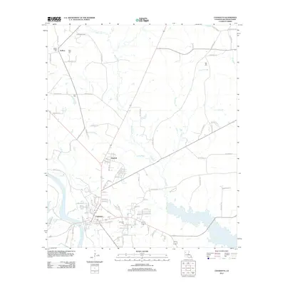
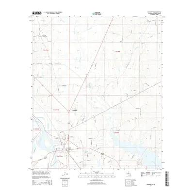
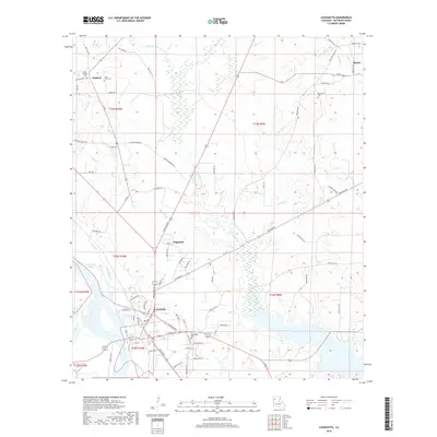
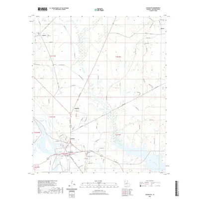
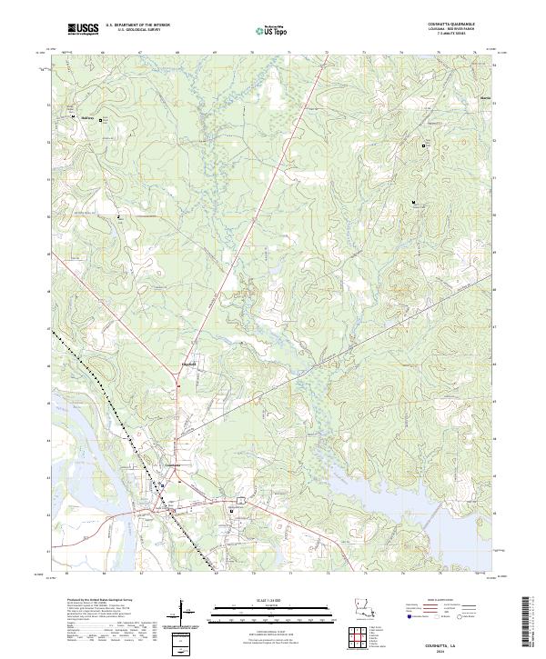
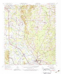
The Red River dominates this mid-century landscape as it winds through the alluvial bottoms of Red River Parish and neighboring De Soto, Bossier, and Bienville parishes. The 1950s era shows the region's reliance on both river and rail, with the Kansas City Southern and Texas and Pacific railroads connecting small agricultural hubs like Westdale, Armistead, and Crichton. The density of community life is evidenced by numerous country churches such as St John the Baptist Ch and New Jerusalem Ch, alongside local institutions like the Grand Bayou Sch and the now-labeled Susie Island Sch (Abandoned). Significant water bodies including Loggy Bayou and Prudhomme Lake segment the terrain, while the parish seat of Coushatta sits as the primary center of commerce. This map provides a detailed look at the complex network of bayous and sloughs that shaped local movement and settlement patterns before modern infrastructure altered the river corridor.
Find a feature on this map
118 named features on this map. Tap any name to fly to it.
Don’t see what you’re looking for? This feature index may not catch every label — zoom into the map to look around manually.
Map Details
Editions of this 1957 Coushatta Map
4 editions found
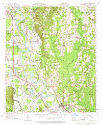
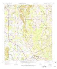
Historical Maps of Coushatta Through Time
8 maps found