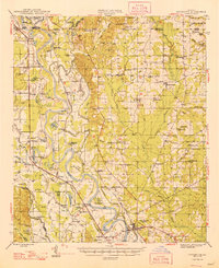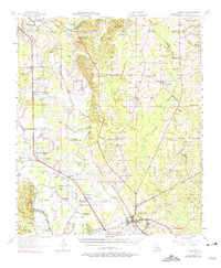
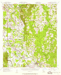
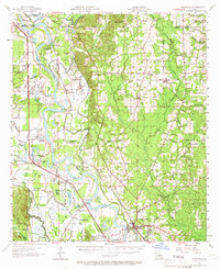
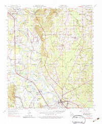
1957 Map of Coushatta
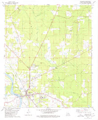
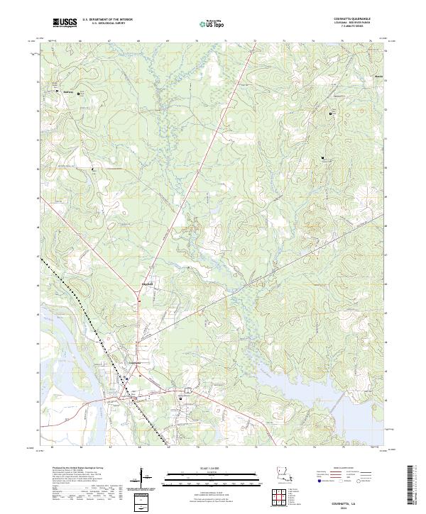
USGS Topo · Published 1975About this map
The Red River floodplain dominates this mid-century portrait of Red River Parish, where a complex network of waterways like Loggy Bayou and Coushatta Bayou defines the rural landscape. The map captures the agricultural and river-dependent character of the region, anchored by the town of Coushatta and smaller community hubs such as Gahagan, Armistead, and Hall Summit. This era shows a landscape dense with country churches, including St John the Baptist Ch and Starlight Ch, which served as the social heart for these dispersed settlements.
Find a feature on this map
98 named features on this map. Tap any name to fly to it.
Don’t see what you’re looking for? This feature index may not catch every label — zoom into the map to look around manually.
Map Details
Editions of this 1957 Coushatta Map
4 editions found
Historical Maps of Coushatta Through Time
8 maps found