
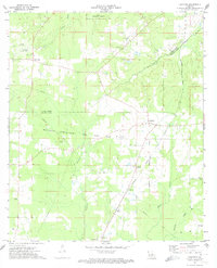
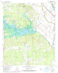
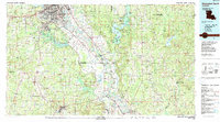
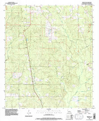
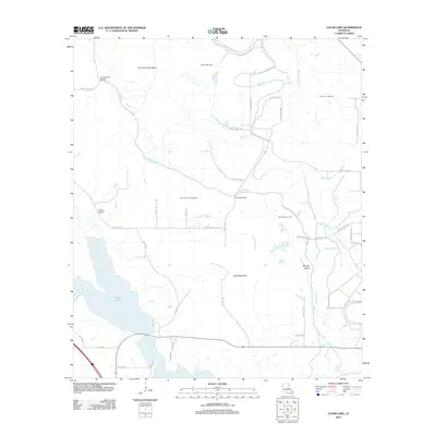
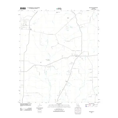
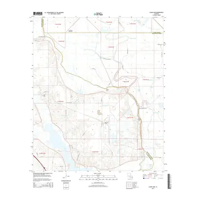
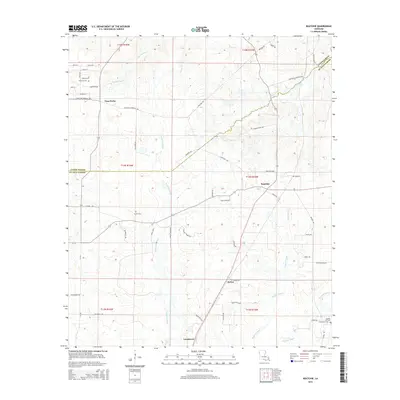
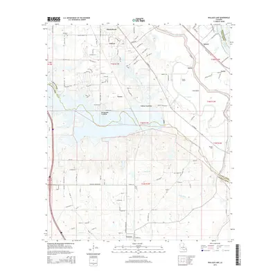
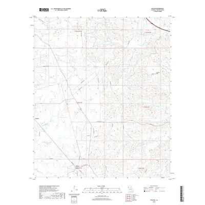
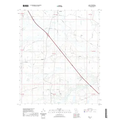
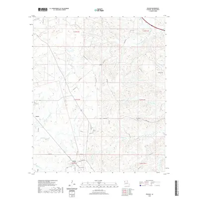
1941 Map of Pelican
USGS Topo · Published 1942About this map
De Soto and Sabine Parishes meet along a complex network of bayous and rails in this early 1940s survey. The landscape is defined by the parallel paths of the Kansas City Southern Railway and the Texas and Pacific Railroad, which anchor several small timber and agricultural communities. Notable centers include Benson, Pelican, and Pleasant Hill, the latter showing a concentrated grid of streets alongside a CCC Camp. The map is particularly rich in rural institutional history, documenting dozens of neighborhood landmarks such as the Spring Creek Community Center, Pine Spring Sch, and St Matthews Ch. The presence of an old logging railroad grade near Converse points to the region's industrial heritage, while numerous family cemeteries like Guy Cem and Sebastian Cem offer valuable data for genealogical research.
Find a feature on this map
82 named features on this map. Tap any name to fly to it.
Don’t see what you’re looking for? This feature index may not catch every label — zoom into the map to look around manually.
Map Details
Editions of this 1941 Pelican Map
This is the sole edition of this map. No revisions or reprints were ever made.
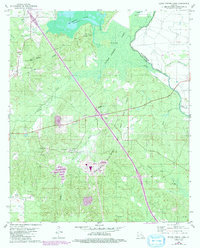
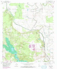
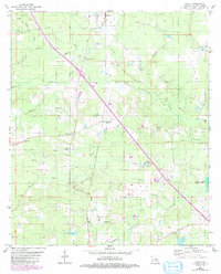
Historical Maps of Pleasant Hill Through Time
72 maps found

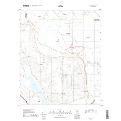
1938 Chemard Lake
De Soto Parish, LA
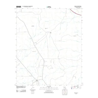
1941 Pelican
De Soto Parish, LA
1972 Keatchie
De Soto Parish, LA
1980 Bayou Pierre Lake
De Soto Parish, LA
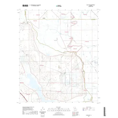
1980 Clear Lake
De Soto Parish, LA
1980 Holly
De Soto Parish, LA
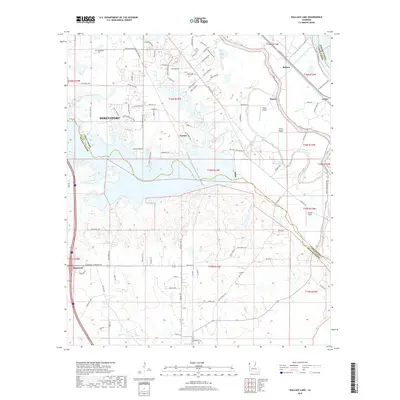
1980 Wallace Lake
De Soto Parish, LA
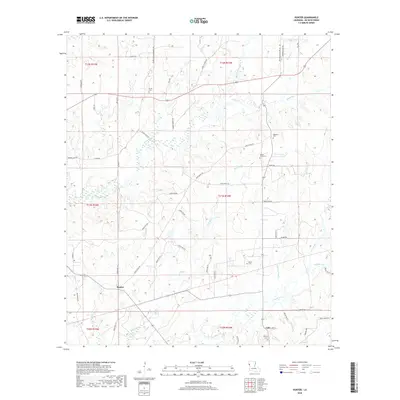
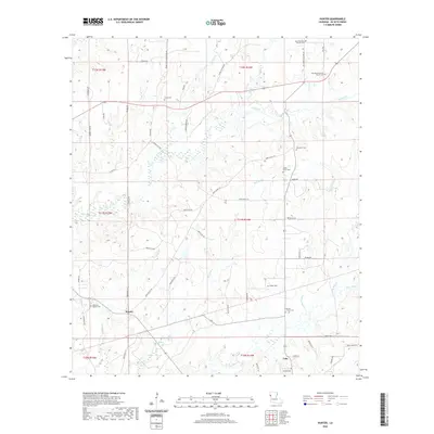
1984 Hunter
De Soto Parish, LA
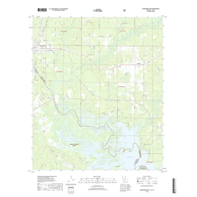
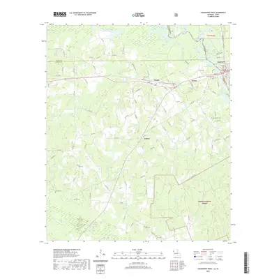
1984 Logansport East
De Soto Parish, LA
1984 Logansport West
De Soto Parish, LA
1985 Shreveport South
De Soto Parish, LA
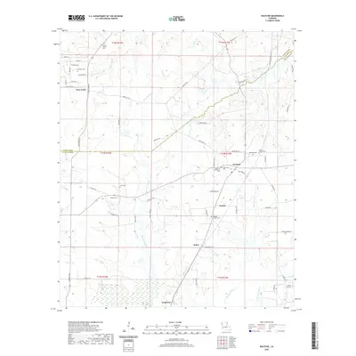
1989 Evelyn
De Soto Parish, LA
1989 Pelican
De Soto Parish, LA
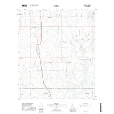
1989 Trenton
De Soto Parish, LA
1995 Trenton
De Soto Parish, LA
2003 Logansport East
De Soto Parish, LA
2003 Logansport West
De Soto Parish, LA

2010 Logansport East
De Soto Parish, LA
2010 Logansport West
De Soto Parish, LA

2012 Bayou Pierre Lake
De Soto Parish, LA
2012 Clear Lake
De Soto Parish, LA
2012 Evelyn
De Soto Parish, LA
2012 Holly
De Soto Parish, LA
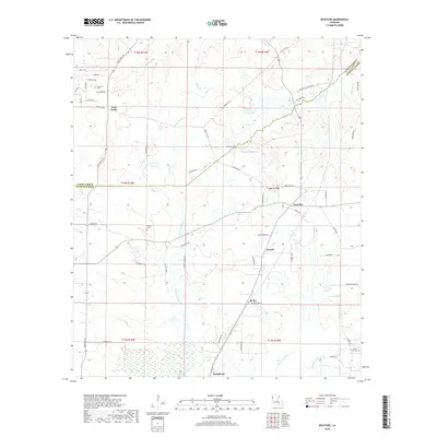
2012 Hunter
De Soto Parish, LA
2012 Keatchie
De Soto Parish, LA
2012 Pelican
De Soto Parish, LA
2012 Trenton
De Soto Parish, LA
2012 Wallace Lake
De Soto Parish, LA

2015 Bayou Pierre Lake
De Soto Parish, LA
2015 Clear Lake
De Soto Parish, LA
2015 Evelyn
De Soto Parish, LA
2015 Holly
De Soto Parish, LA
2015 Hunter
De Soto Parish, LA
2015 Keatchie
De Soto Parish, LA

2015 Logansport East
De Soto Parish, LA
2015 Logansport West
De Soto Parish, LA
2015 Pelican
De Soto Parish, LA
2015 Trenton
De Soto Parish, LA
2015 Wallace Lake
De Soto Parish, LA

2018 Bayou Pierre Lake
De Soto Parish, LA
2018 Clear Lake
De Soto Parish, LA
2018 Evelyn
De Soto Parish, LA
2018 Holly
De Soto Parish, LA
2018 Hunter
De Soto Parish, LA
2018 Keatchie
De Soto Parish, LA
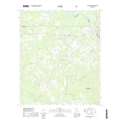
2018 Logansport East
De Soto Parish, LA
2018 Logansport West
De Soto Parish, LA
2018 Pelican
De Soto Parish, LA
2018 Trenton
De Soto Parish, LA
2018 Wallace Lake
De Soto Parish, LA

2020 Bayou Pierre Lake
De Soto Parish, LA
2020 Clear Lake
De Soto Parish, LA

2020 Evelyn
De Soto Parish, LA
2020 Holly
De Soto Parish, LA
2020 Hunter
De Soto Parish, LA
2020 Keatchie
De Soto Parish, LA

2020 Logansport East
De Soto Parish, LA
2020 Logansport West
De Soto Parish, LA
2020 Pelican
De Soto Parish, LA
2020 Trenton
De Soto Parish, LA
2020 Wallace Lake
De Soto Parish, LA
2024 Bayou Pierre Lake
De Soto Parish, LA
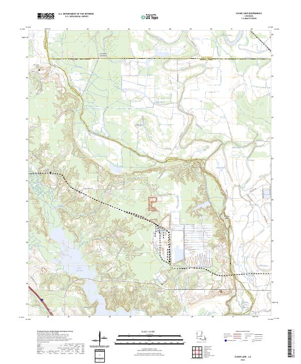
2024 Clear Lake
De Soto Parish, LA
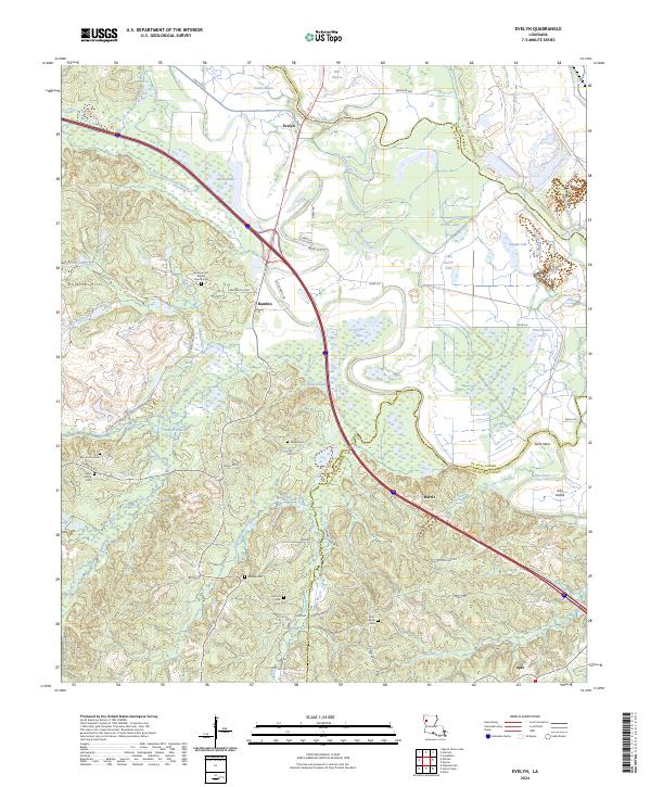
2024 Evelyn
De Soto Parish, LA
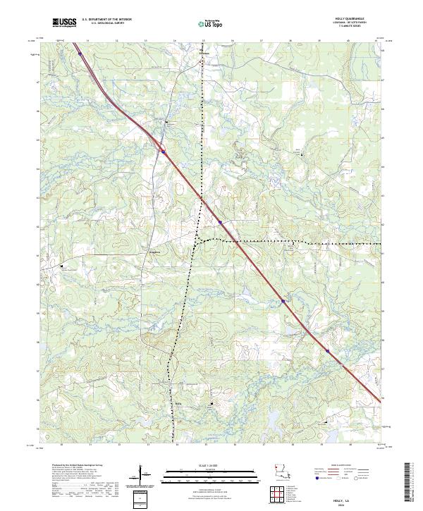
2024 Holly
De Soto Parish, LA
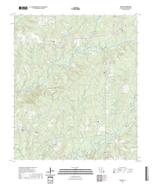
2024 Hunter
De Soto Parish, LA
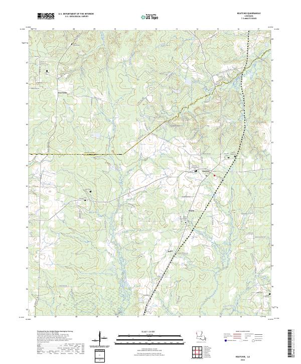
2024 Keatchie
De Soto Parish, LA
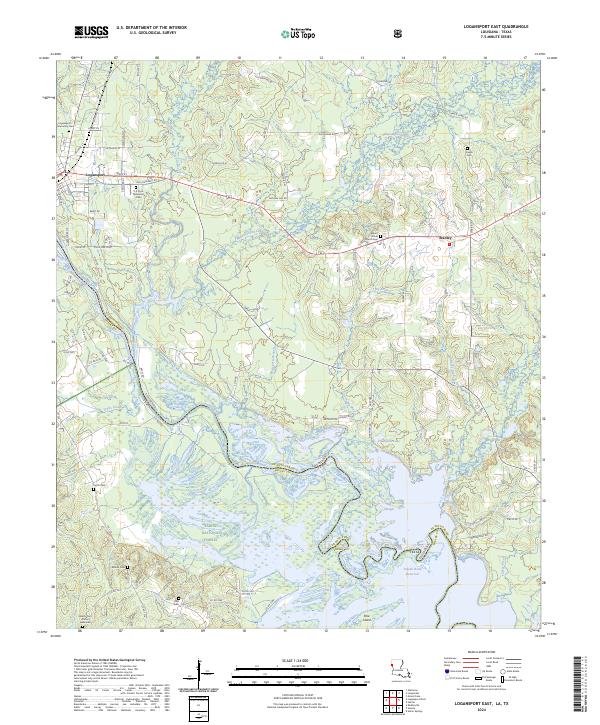
2024 Logansport East
De Soto Parish, LA
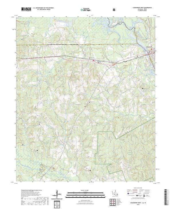
2024 Logansport West
De Soto Parish, LA
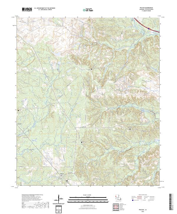
2024 Pelican
De Soto Parish, LA
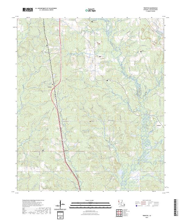
2024 Trenton
De Soto Parish, LA
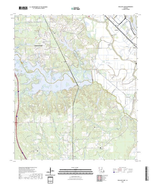
2024 Wallace Lake
De Soto Parish, LA