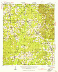
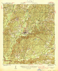
1943 Map of Pleasant Hill
USGS Topo · Published 1955About this map
The parish line between De Soto Parish and Sabine Parish cuts through this mid-century landscape of northwest Louisiana, where a dense network of railroads drove the local economy. The Kansas City Southern and Texas and Pacific lines connect the primary settlements of Converse, Benson, Oxford, and Pelican. This era was characterized by numerous rural institutions, including dozens of schools like Mt Zion Sch and Pine Spring Sch, and community hubs such as the Spring Creek Community Hall. The terrain is defined by an intricate drainage system leading into San Miguel Bayou and the unusually named Stinkfinger Creek. Genealogists will find significant value in the distribution of family-named cemeteries, including Guy Cem, Williams Cem, and the historic Old Pleasant Hill Cem, which anchor the heritage of these piney woods communities.
Find a feature on this map
69 named features on this map. Tap any name to fly to it.
Don’t see what you’re looking for? This feature index may not catch every label — zoom into the map to look around manually.
Map Details
Editions of this 1943 Pleasant Hill Map
This is the sole edition of this map. No revisions or reprints were ever made.
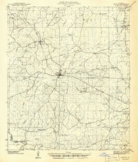
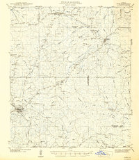
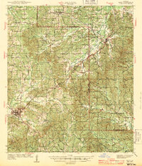
Other maps of this area

1938 · Chemard Lake
USGS Topo · 1:31,680

1938 · Hollis Creek
USGS Topo · 1:31,680
1941 · Zwolle
USGS Topo · 1:62,500

1941 · Pelican
USGS Topo · 1:62,500
1942 · Many
USGS Topo · 1:62,500
1943 · Many
USGS Topo · 1:62,500

1944 · Logansport
USGS Topo · 1:62,500

1944 · Patroon
USGS Topo · 1:62,500
1944 · Zwolle
USGS Topo · 1:62,500
1944 · Pleasant Hill
USGS Topo · 1:62,500