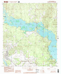
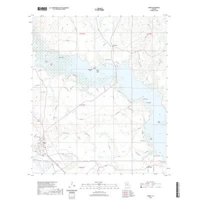
1944 Map of Campti
USGS Topo · Published 1955About this map
Natchitoches serves as the focal point of this mid-century survey, situated at the southern end of a landscape defined by the winding Red River. The geography reveals a complex hydraulic history, with numerous oxbow lakes and abandoned channels like the Old River and Cane River Lake illustrating the river's shifting path over time. In the Old Spanish Lake Lowlands, the terrain is dominated by intricate drainage systems including Pierre Bayou and Johnson Chute.
Find a feature on this map
78 named features on this map. Tap any name to fly to it.
Don’t see what you’re looking for? This feature index may not catch every label — zoom into the map to look around manually.
Map Details
Editions of this 1944 Campti Map
This is the sole edition of this map. No revisions or reprints were ever made.
Historical Maps of Natchitoches Through Time
10 maps found
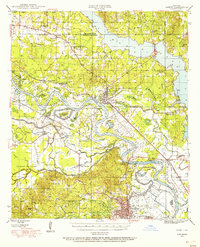
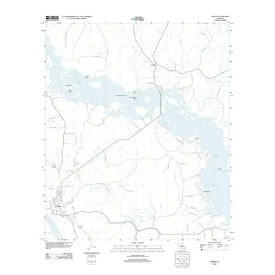
1944 Campti
Natchitoches Parish, LA
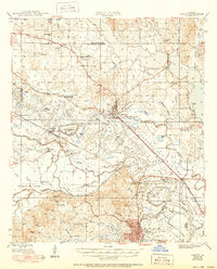
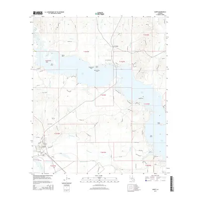
1948 Campti
Natchitoches Parish, LA
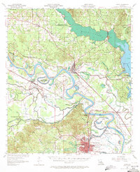
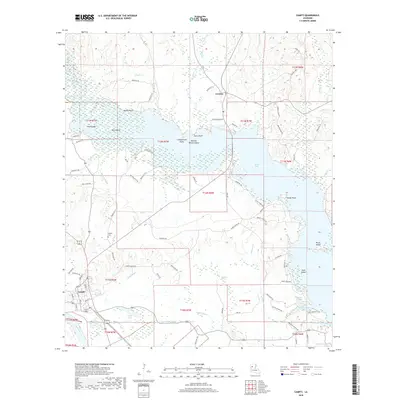
1957 Campti
Natchitoches Parish, LA
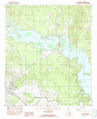
1983 Campti
Natchitoches Parish, LA
1996 Campti
Natchitoches Parish, LA
2012 Campti
Natchitoches Parish, LA
2015 Campti
Natchitoches Parish, LA
2018 Campti
Natchitoches Parish, LA
2020 Campti
Natchitoches Parish, LA
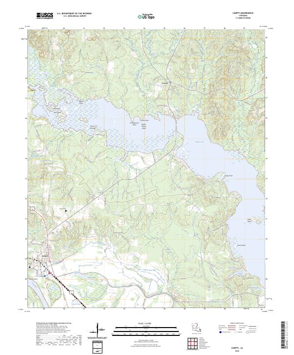
2024 Campti
Natchitoches Parish, LA