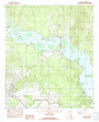
1983 Map of Campti
USGS Topo · Published 1991About this map
Black Lake and its intricate network of bayous and sloughs dominate this portion of the Red River Valley in the early 1980s. The settlement of Campti occupies a strategic bend near the Kansas City Southern railroad, serving as a hub for the surrounding timber and agricultural lands. The map reveals a deeply rooted community landscape defined by its numerous small churches, including New Mount Zion Ch, Old Mount Zion Ch, and Our Lady of the Rosary Ch.
Find a feature on this map
38 named features on this map. Tap any name to fly to it.
Don’t see what you’re looking for? This feature index may not catch every label — zoom into the map to look around manually.
Map Details
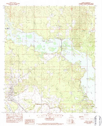
Editions of this 1983 Campti Map
2 editions found
Other maps of this area

1937 · Campti NE
USGS Topo · 1:31,680

1937 · Campti SE
USGS Topo · 1:31,680

1937 · Campti NW
USGS Topo · 1:31,680

1937 · Campti SW
USGS Topo · 1:31,680

1944 · Campti
USGS Topo · 1:62,500

1947 · Goldonna
USGS Topo · 1:62,500

1947 · Ashland
USGS Topo · 1:62,500

1948 · Campti
USGS Topo · 1:62,500

1949 · Calvin NW
USGS Topo · 1:31,680

1949 · Calvin SW
USGS Topo · 1:31,680