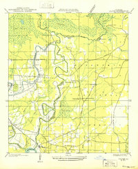
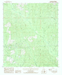
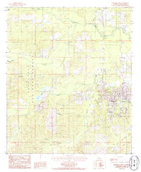
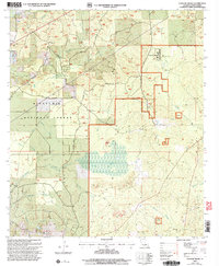
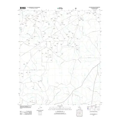
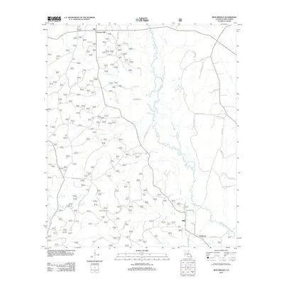
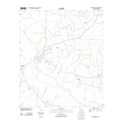
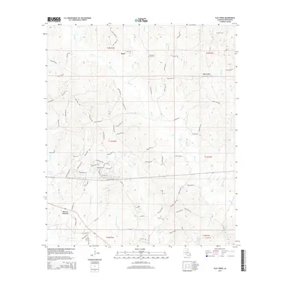
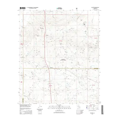
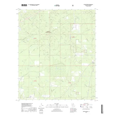
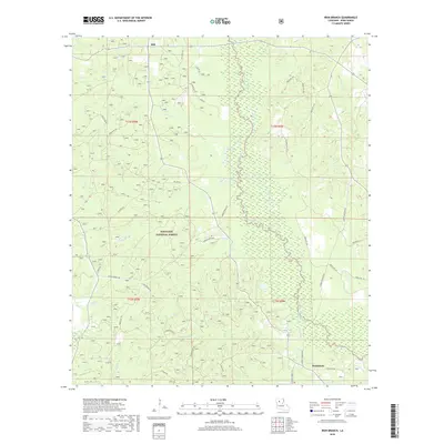
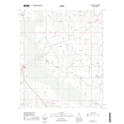
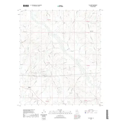
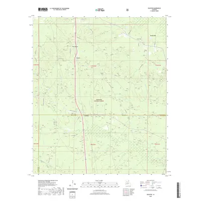
1949 Map of Calvin SW
USGS Topo · Published 1949About this map
Saline Bayou winds through the heart of this landscape, marking the boundary between Natchitoches and Winn parishes. This late 1940s survey reveals a community deeply rooted in the rural land, defined by a network of local institutions such as Christian Harmony Ch, Old Morning Star Ch, and New Morning Star Ch. Educational life is centered around scattered country schools, including Pace Sch and Pleasant Ridge Sch.
Find a feature on this map
50 named features on this map. Tap any name to fly to it.
Don’t see what you’re looking for? This feature index may not catch every label — zoom into the map to look around manually.
Map Details
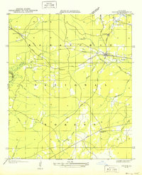
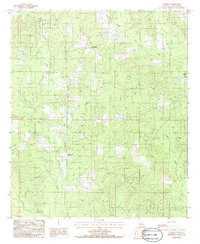
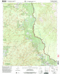
Editions of this 1949 Calvin SW Map
This is the sole edition of this map. No revisions or reprints were ever made.
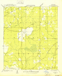
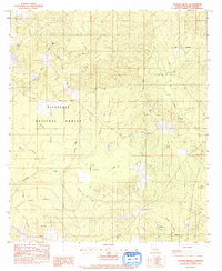
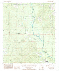
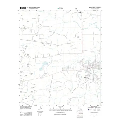
Historical Maps of Saint Maurice Through Time
66 maps found
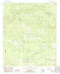
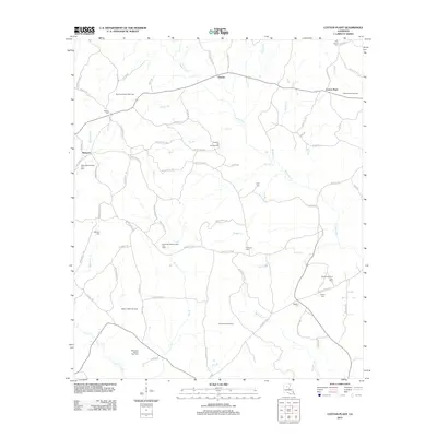
1949 Calvin NE
Winn Parish, LA
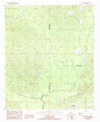
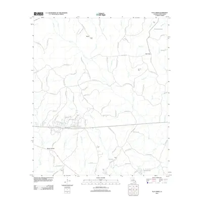
1949 Calvin SE
Winn Parish, LA
1949 Calvin SW
Winn Parish, LA
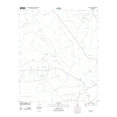
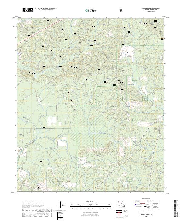
1983 Coochie Brake
Winn Parish, LA
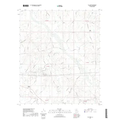
1984 Flat Creek
Winn Parish, LA
1984 Olla West
Winn Parish, LA
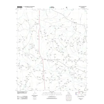
1984 Packton
Winn Parish, LA
1984 Winnfield East
Winn Parish, LA
1984 Winnfield West
Winn Parish, LA
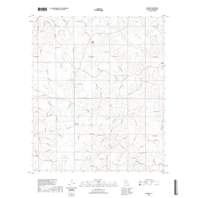
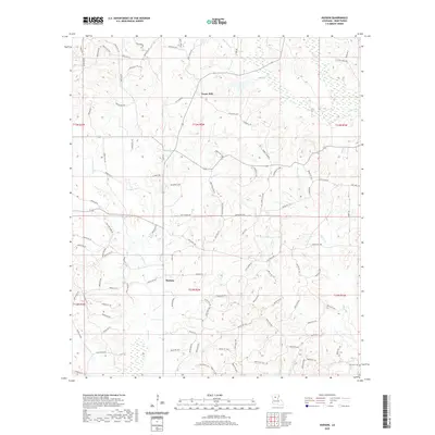
1985 Hudson
Winn Parish, LA
1986 Iron Branch
Winn Parish, LA
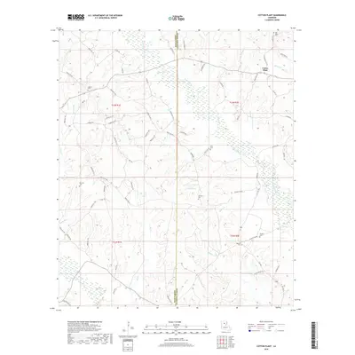
1989 Cotton Plant
Winn Parish, LA
2003 Coochie Brake
Winn Parish, LA
2003 Iron Branch
Winn Parish, LA
2003 Packton
Winn Parish, LA
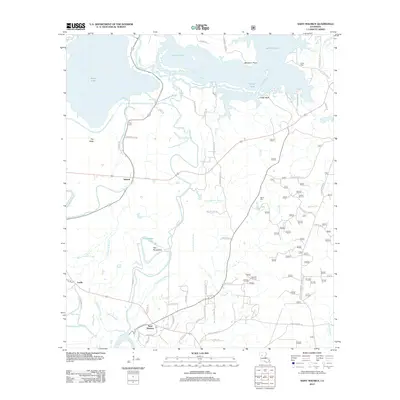
2003 Saint Maurice
Winn Parish, LA
2012 Coochie Brake
Winn Parish, LA
2012 Cotton Plant
Winn Parish, LA
2012 Flat Creek
Winn Parish, LA
2012 Hudson
Winn Parish, LA
2012 Iron Branch
Winn Parish, LA
2012 Olla West
Winn Parish, LA
2012 Packton
Winn Parish, LA
2012 Saint Maurice
Winn Parish, LA
2012 Winnfield East
Winn Parish, LA
2012 Winnfield West
Winn Parish, LA
2015 Coochie Brake
Winn Parish, LA
2015 Cotton Plant
Winn Parish, LA
2015 Flat Creek
Winn Parish, LA
2015 Hudson
Winn Parish, LA
2015 Iron Branch
Winn Parish, LA
2015 Olla West
Winn Parish, LA
2015 Packton
Winn Parish, LA
2015 Saint Maurice
Winn Parish, LA
2015 Winnfield East
Winn Parish, LA
2015 Winnfield West
Winn Parish, LA
2018 Coochie Brake
Winn Parish, LA
2018 Cotton Plant
Winn Parish, LA
2018 Flat Creek
Winn Parish, LA
2018 Hudson
Winn Parish, LA
2018 Iron Branch
Winn Parish, LA
2018 Olla West
Winn Parish, LA
2018 Packton
Winn Parish, LA
2018 Saint Maurice
Winn Parish, LA
2018 Winnfield East
Winn Parish, LA
2018 Winnfield West
Winn Parish, LA
2020 Coochie Brake
Winn Parish, LA
2020 Cotton Plant
Winn Parish, LA
2020 Flat Creek
Winn Parish, LA
2020 Hudson
Winn Parish, LA
2020 Iron Branch
Winn Parish, LA
2020 Olla West
Winn Parish, LA
2020 Packton
Winn Parish, LA
2020 Saint Maurice
Winn Parish, LA
2020 Winnfield East
Winn Parish, LA

2020 Winnfield West
Winn Parish, LA
2024 Coochie Brake
Winn Parish, LA
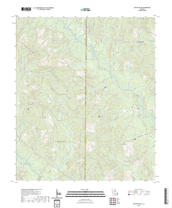
2024 Cotton Plant
Winn Parish, LA
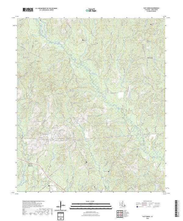
2024 Flat Creek
Winn Parish, LA
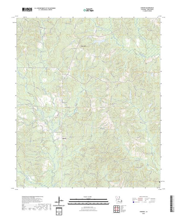
2024 Hudson
Winn Parish, LA
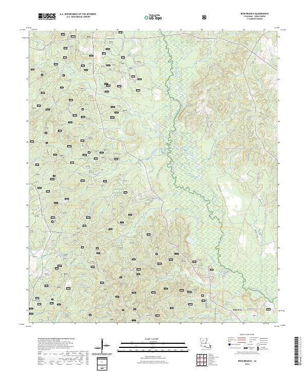
2024 Iron Branch
Winn Parish, LA
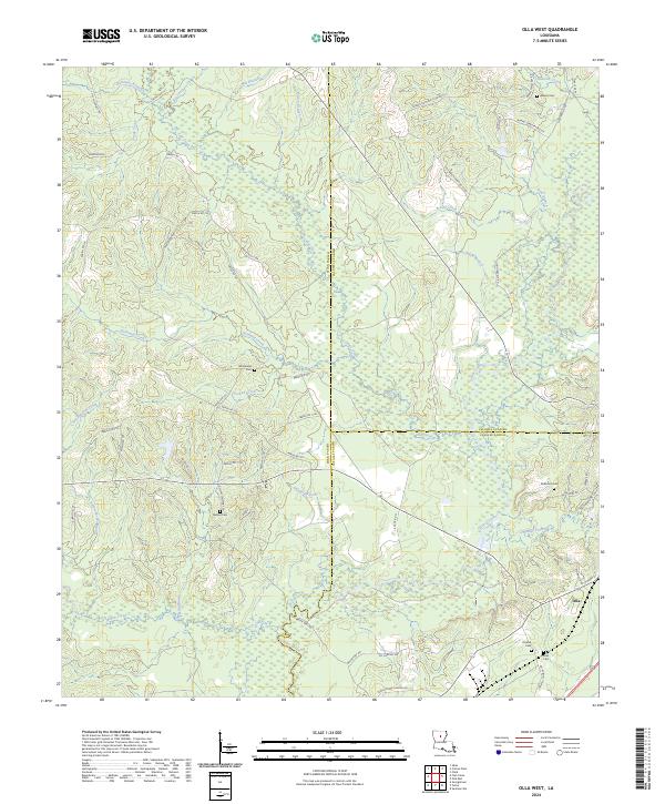
2024 Olla West
Winn Parish, LA
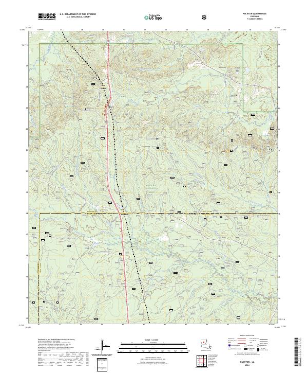
2024 Packton
Winn Parish, LA
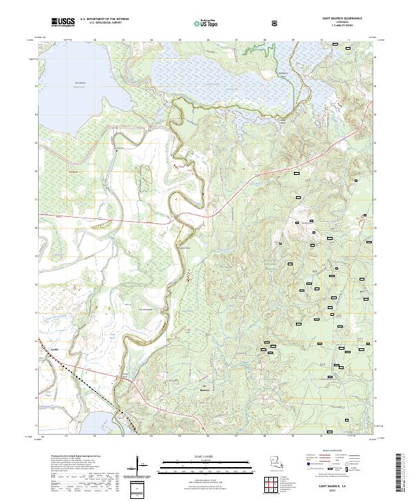
2024 Saint Maurice
Winn Parish, LA
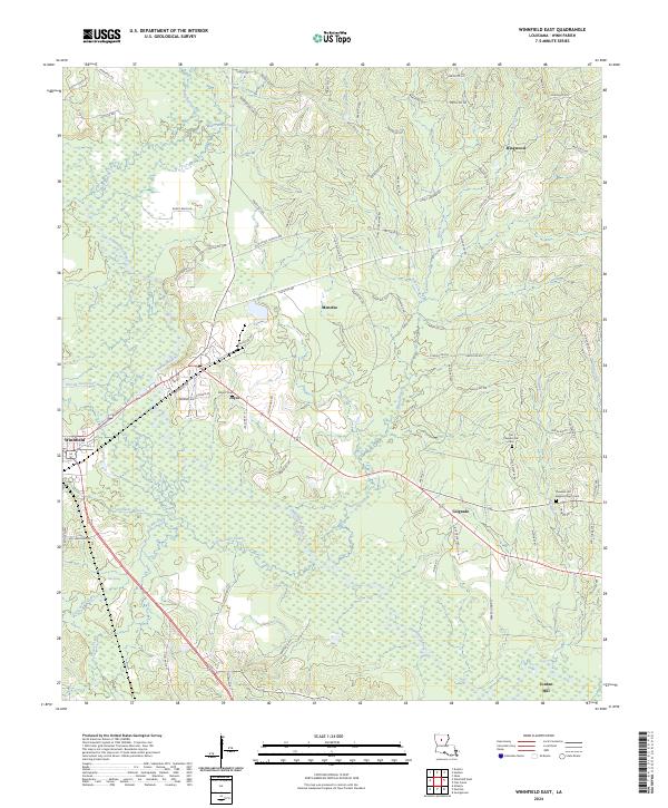
2024 Winnfield East
Winn Parish, LA
2024 Winnfield West
Winn Parish, LA