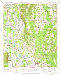
1957 Map of Coushatta
USGS Topo · Published 1966About this map
The Red River meanders through a landscape defined by its shifting oxbows and river-bottom agriculture during the mid-1950s. The parish seat of Coushatta anchors the southeastern quadrant, where the Texas and Pacific RR and Kansas City Southern RR facilitate the movement of goods through the valley. This era reveals a dense network of rural life, specifically through a remarkable concentration of community anchors such as Social Springs Ch, True Vine Ch, and the Susie Island Sch (Abandoned).
Find a feature on this map
117 named features on this map. Tap any name to fly to it.
Don’t see what you’re looking for? This feature index may not catch every label — zoom into the map to look around manually.
Map Details
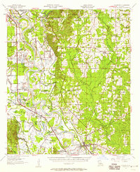
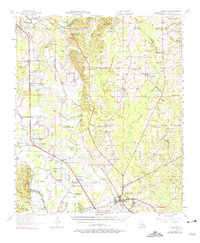
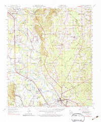
Editions of this 1957 Coushatta Map
4 editions found
Other maps of this area

1937 · Campti NW
USGS Topo · 1:31,680

1938 · Chemard Lake
USGS Topo · 1:31,680

1938 · Lake End
USGS Topo · 1:31,680

1941 · East Point
USGS Topo · 1:31,680

1941 · Bossier Point
USGS Topo · 1:31,680

1941 · Pelican
USGS Topo · 1:62,500

1943 · Pleasant Hill
USGS Topo · 1:62,500

1944 · Pleasant Hill
USGS Topo · 1:62,500

1944 · Campti
USGS Topo · 1:62,500

1945 · Mansfield
USGS Topo · 1:62,500