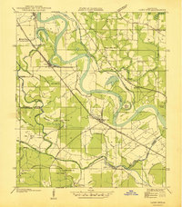
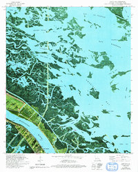
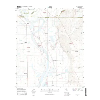
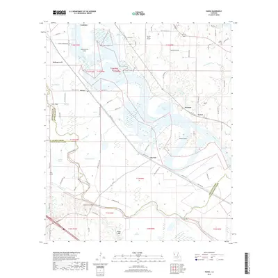
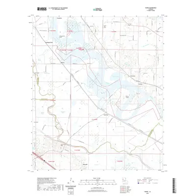
1938 Map of Lake End
USGS Topo · Published 1938About this map
Red River meanders sharply through this 1938 landscape, defining the borders between De Soto, Red River, and Natchitoches Parishes. The era's transportation network is dominated by the Texas and Pacific Railway and the Louisiana and Arkansas Railway, which serve riverfront settlements like Lake End and Hanna. The map reveals a deeply established rural community, evidenced by numerous local landmarks including Walnut Ridge School and Union Hall School, alongside several congregations such as Antioch Church and Pilgrim Star Church. To the west, the complex hydrology of the floodplains is visible through a network of bayous and cutoffs, including the Hollingsworth Cutoff and Pierre Bayou. This survey documents a critical period of transition as State Highway 71 and 1 begins to supersede the older river and rail routes.
Find a feature on this map
48 named features on this map. Tap any name to fly to it.
Don’t see what you’re looking for? This feature index may not catch every label — zoom into the map to look around manually.
Map Details
Editions of this 1938 Lake End Map
This is the sole edition of this map. No revisions or reprints were ever made.
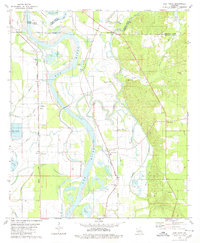
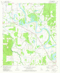
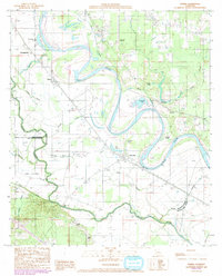
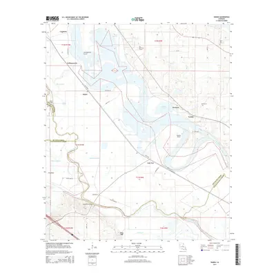
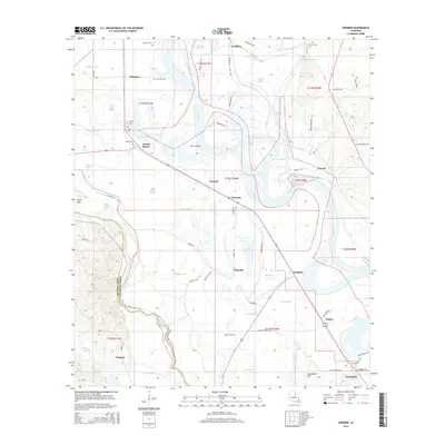
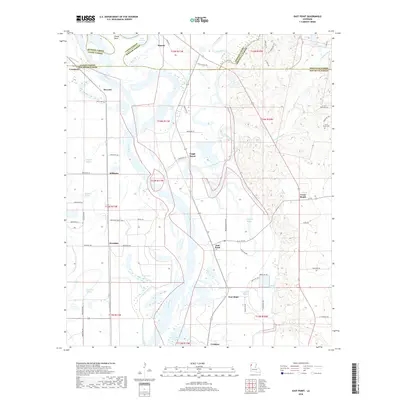
Historical Maps of Piermont Through Time
21 maps found
1938 Lake End
Red River Parish, LA

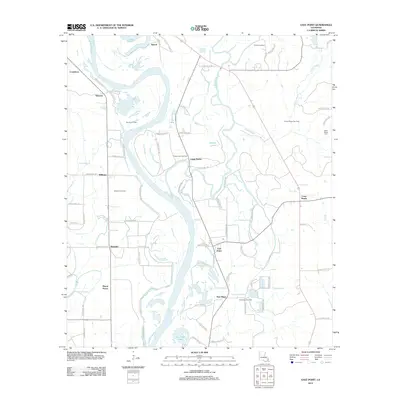
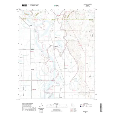
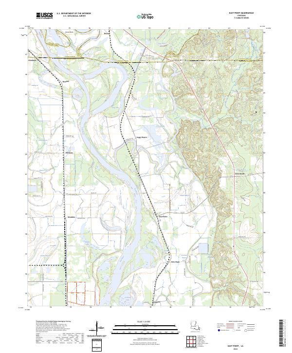
1941 East Point
Red River Parish, LA
1979 East Point
Red River Parish, LA
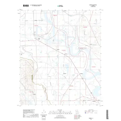
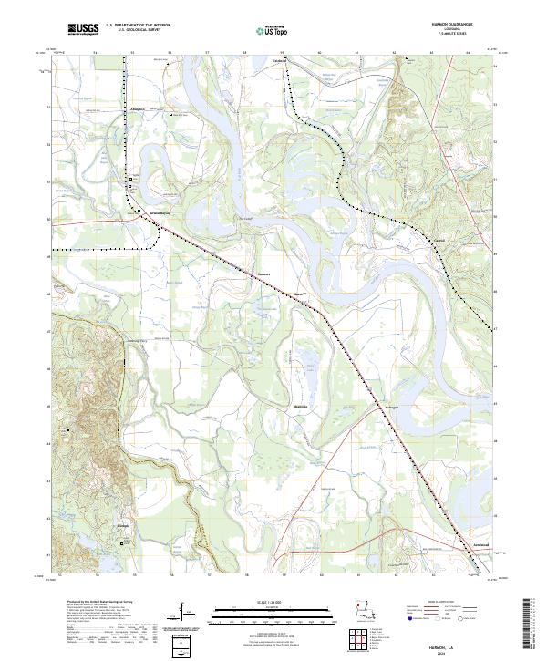
1980 Harmon
Red River Parish, LA
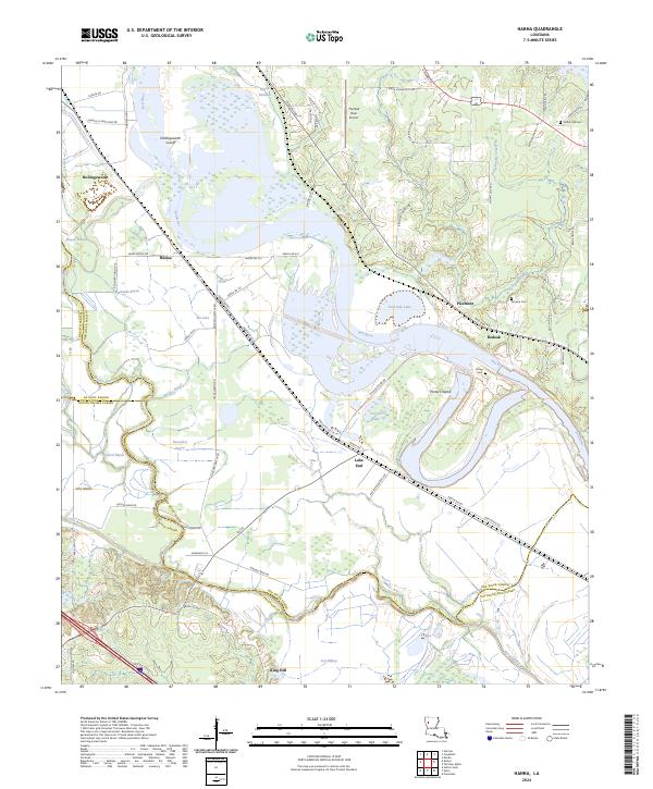
1989 Hanna
Red River Parish, LA
1992 Hanna
Red River Parish, LA
2012 East Point
Red River Parish, LA
2012 Hanna
Red River Parish, LA
2012 Harmon
Red River Parish, LA
2015 East Point
Red River Parish, LA
2015 Hanna
Red River Parish, LA
2015 Harmon
Red River Parish, LA
2018 East Point
Red River Parish, LA
2018 Hanna
Red River Parish, LA
2018 Harmon
Red River Parish, LA
2020 East Point
Red River Parish, LA
2020 Hanna
Red River Parish, LA
2020 Harmon
Red River Parish, LA
2024 East Point
Red River Parish, LA
2024 Hanna
Red River Parish, LA
2024 Harmon
Red River Parish, LA