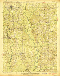
1922 Map of Sarepta
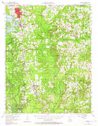
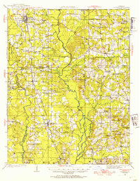
USGS Topo · Published 1954About this map
Spring Hill and Cotton Valley anchor the northern and southern ends of this 1920s landscape, which is defined by the winding course of Big Dorcheat Bayou and its numerous tributaries. The map documents a rural society structured around local gathering places, featuring an extensive network of country schools and churches like Old Shongaloo School, Blocker Chapel, and Evergreen School. Movement through the terrain relied on a series of critical crossings over the local waterways, including Sykes Ferry, Dunns Bridge, and Cox Ford, illustrating the connectivity of these communities before modern infrastructure dominated the region.
Find a feature on this map
85 named features on this map. Tap any name to fly to it.
Don’t see what you’re looking for? This feature index may not catch every label — zoom into the map to look around manually.
Map Details
Editions of this 1922 Sarepta Map
This is the sole edition of this map. No revisions or reprints were ever made.
Historical Maps of Springhill Through Time
3 maps found