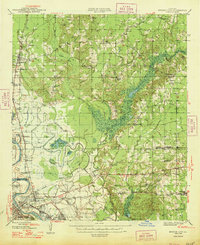
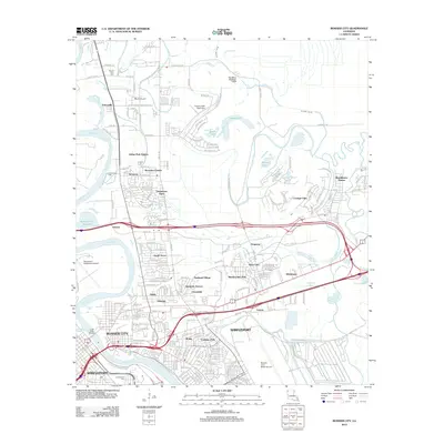
1948 Map of Bossier City
USGS Topo · Published 1948About this map
Bossier City and the neighboring Shreveport riverfront are shown in detail during the late 1940s, a period when the region's transport network was heavily defined by the winding course of the Red River. The map reveals a complex landscape of bayous and drainage systems, including the Southwestern Bayou and Bodcau Bayou, which navigate the lowland terrain between the rising upland ridges. Large-scale military and civil infrastructure is prominent, notably Barksdale Field and the Municipal Airport, reflecting the strategic importance of this northwestern Louisiana corridor.
Find a feature on this map
66 named features on this map. Tap any name to fly to it.
Don’t see what you’re looking for? This feature index may not catch every label — zoom into the map to look around manually.
Map Details
Editions of this 1948 Bossier City Map
This is the sole edition of this map. No revisions or reprints were ever made.
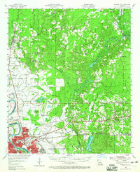
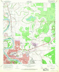
Historical Maps of Shreveport Through Time
12 maps found
1948 Bossier City
Bossier Parish, LA
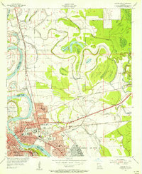
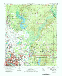
1955 Bossier City
Bossier Parish, LA
1955 Bossier City
Bossier Parish, LA
1960 Bossier City
Bossier Parish, LA
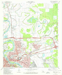
1975 Bossier City
Bossier Parish, LA
1978 Bossier City
Bossier Parish, LA
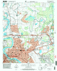
1998 Bossier City
Bossier Parish, LA
2012 Bossier City
Bossier Parish, LA
2015 Bossier City
Bossier Parish, LA
2018 Bossier City
Bossier Parish, LA
2020 Bossier City
Bossier Parish, LA
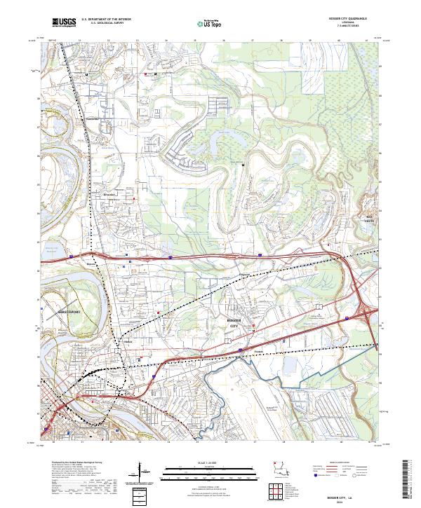
2024 Bossier City
Bossier Parish, LA