
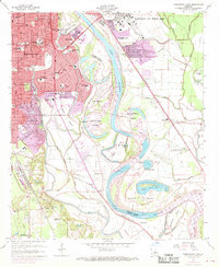
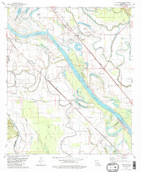
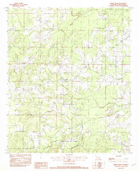
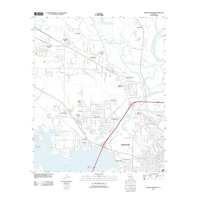
1932 Map of Shreveport NE
USGS Topo · Published 1932About this map
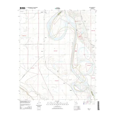
Belcher and Dixie anchor this 1930s landscape, which is defined by the sweeping, serpentine loops of the Red River as it forms the boundary between Caddo and Bossier parishes. The region's agricultural and social fabric is revealed through a network of rural landmarks, including the Rosenwald Sch and numerous country churches like St Paul Ch and Bethel Ch. Evidence of early 20th-century infrastructure is visible in the Texas and Pacific railroad line and the Magnolia Gas Company Pipe Line, which cut through the complex hydrology of bayous and oxbow lakes. Notable water features such as Irish or Oven Lake and the Moon Lake Bed suggest a changing shoreline where former river bends have transitioned into backwater sloughs and dry beds, while the Briarfield Ferry provides a vital river crossing point before the widespread construction of modern bridges.
Find a feature on this map
53 named features on this map. Tap any name to fly to it.
Don’t see what you’re looking for? This feature index may not catch every label — zoom into the map to look around manually.
Map Details
Editions of this 1932 Shreveport NE Map
This is the sole edition of this map. No revisions or reprints were ever made.
Historical Maps of Benton Through Time
69 maps found

1932 Hosston NW
Caddo Parish, LA

1932 Hosston SE
Caddo Parish, LA

1932 Hosston SW
Caddo Parish, LA
1932 Shreveport NE
Caddo Parish, LA

1932 Shreveport SE
Caddo Parish, LA

1941 Forbing
Caddo Parish, LA

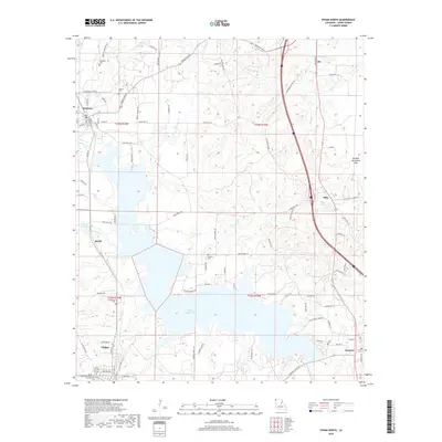
1955 North Shreveport
Caddo Parish, LA

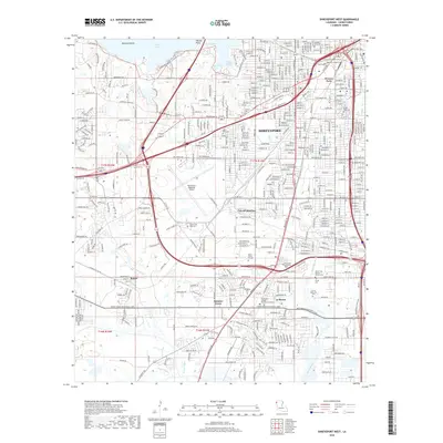
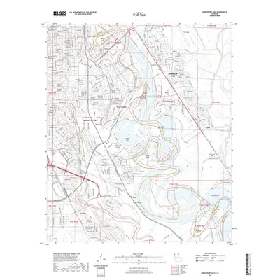
1955 Shreveport East
Caddo Parish, LA

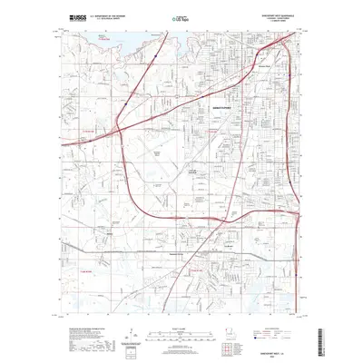
1955 Shreveport West
Caddo Parish, LA
1959 Shreveport East
Caddo Parish, LA
1959 Shreveport West
Caddo Parish, LA
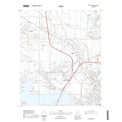
1960 North Highlands
Caddo Parish, LA

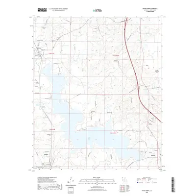
1971 Vivian North
Caddo Parish, LA
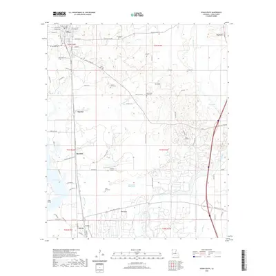
1971 Vivian South
Caddo Parish, LA

1975 North Highlands
Caddo Parish, LA

1975 Shreveport East
Caddo Parish, LA

1975 Shreveport West
Caddo Parish, LA
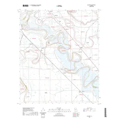
1980 Elm Grove
Caddo Parish, LA
1980 North Highlands
Caddo Parish, LA
1980 Shreveport East
Caddo Parish, LA
1980 Shreveport West
Caddo Parish, LA

1982 Dixie
Caddo Parish, LA
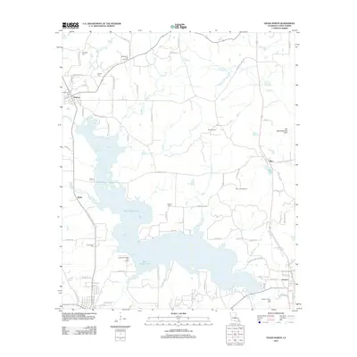
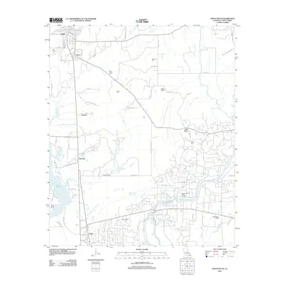
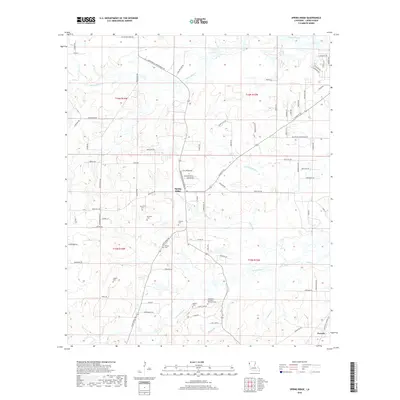
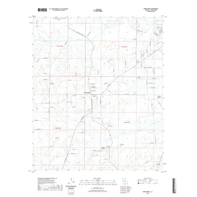
1982 Spring Ridge
Caddo Parish, LA
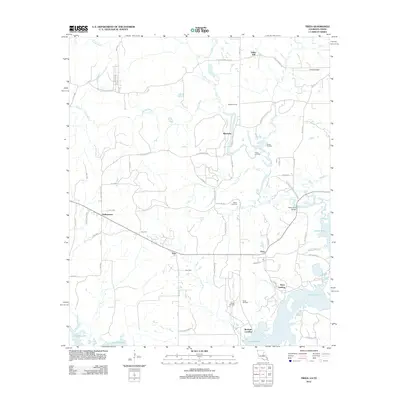
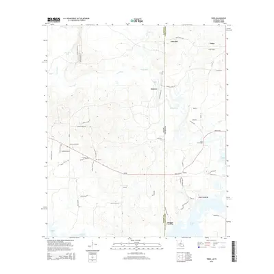
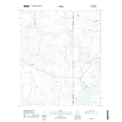
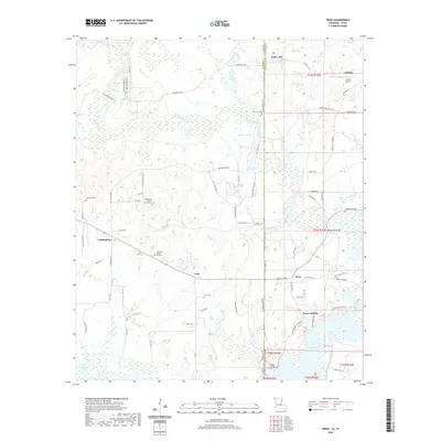
2010 Trees
Caddo Parish, LA
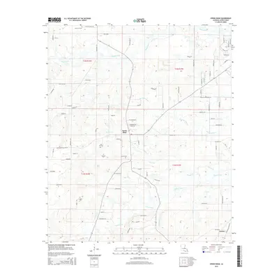
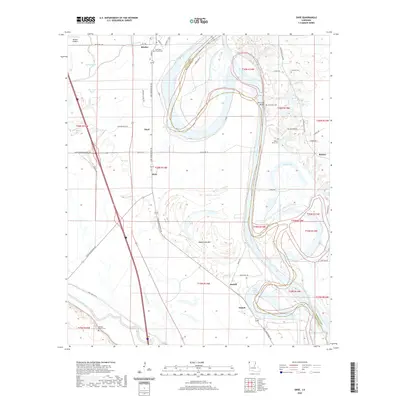
2012 Dixie
Caddo Parish, LA
2012 Elm Grove
Caddo Parish, LA
2012 North Highlands
Caddo Parish, LA
2012 Shreveport East
Caddo Parish, LA
2012 Shreveport West
Caddo Parish, LA
2012 Spring Ridge
Caddo Parish, LA
2012 Trees
Caddo Parish, LA
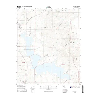
2012 Vivian North
Caddo Parish, LA
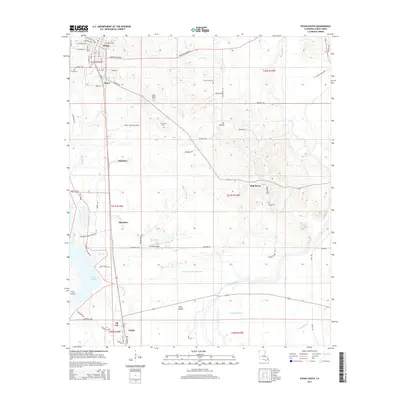
2012 Vivian South
Caddo Parish, LA
2015 Dixie
Caddo Parish, LA
2015 Elm Grove
Caddo Parish, LA
2015 North Highlands
Caddo Parish, LA
2015 Shreveport East
Caddo Parish, LA
2015 Shreveport West
Caddo Parish, LA
2015 Spring Ridge
Caddo Parish, LA
2015 Trees
Caddo Parish, LA
2015 Vivian North
Caddo Parish, LA
2015 Vivian South
Caddo Parish, LA
2018 Dixie
Caddo Parish, LA
2018 Elm Grove
Caddo Parish, LA
2018 North Highlands
Caddo Parish, LA
2018 Shreveport East
Caddo Parish, LA
2018 Shreveport West
Caddo Parish, LA
2018 Spring Ridge
Caddo Parish, LA
2018 Trees
Caddo Parish, LA
2018 Vivian North
Caddo Parish, LA
2018 Vivian South
Caddo Parish, LA
2020 Dixie
Caddo Parish, LA
2020 Elm Grove
Caddo Parish, LA
2020 North Highlands
Caddo Parish, LA
2020 Shreveport East
Caddo Parish, LA
2020 Shreveport West
Caddo Parish, LA
2020 Spring Ridge
Caddo Parish, LA
2020 Trees
Caddo Parish, LA
2020 Vivian North
Caddo Parish, LA
2020 Vivian South
Caddo Parish, LA
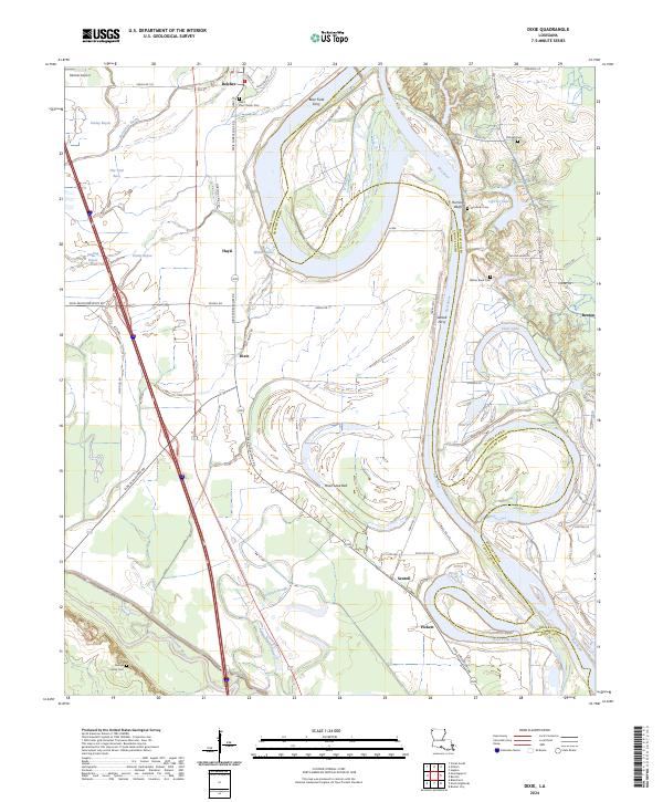
2024 Dixie
Caddo Parish, LA
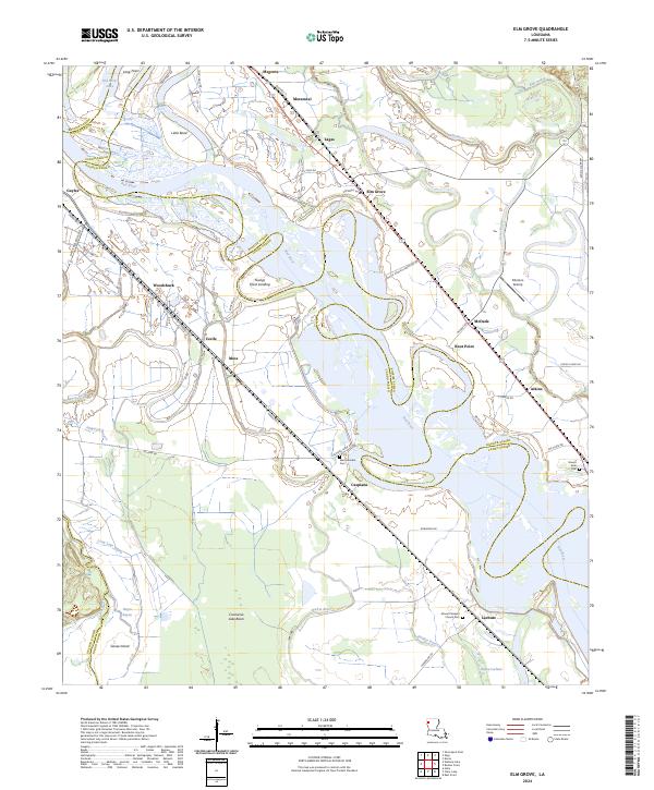
2024 Elm Grove
Caddo Parish, LA
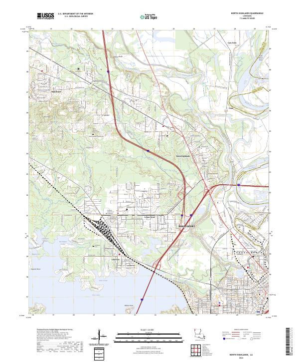
2024 North Highlands
Caddo Parish, LA
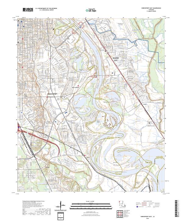
2024 Shreveport East
Caddo Parish, LA
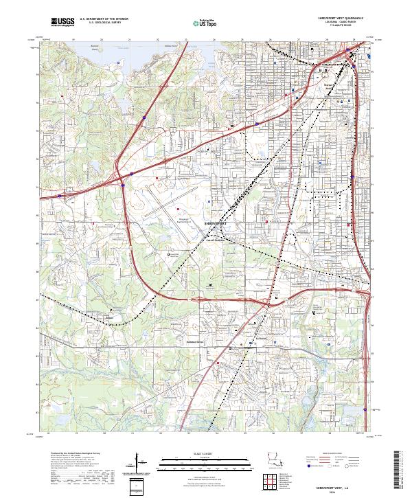
2024 Shreveport West
Caddo Parish, LA
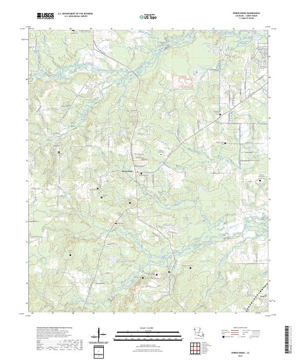
2024 Spring Ridge
Caddo Parish, LA
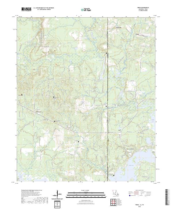
2024 Trees
Caddo Parish, LA
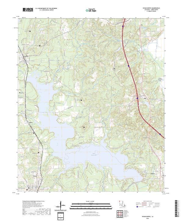
2024 Vivian North
Caddo Parish, LA
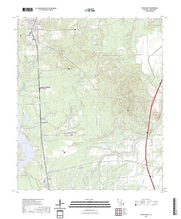
2024 Vivian South
Caddo Parish, LA