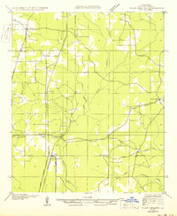
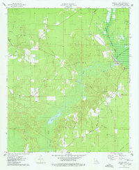
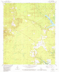
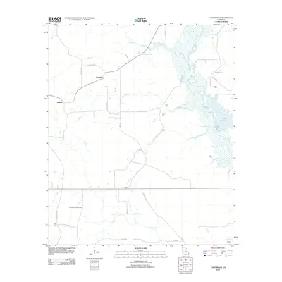
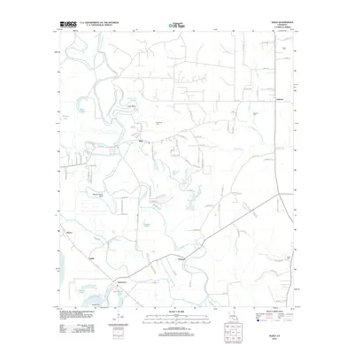
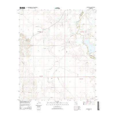
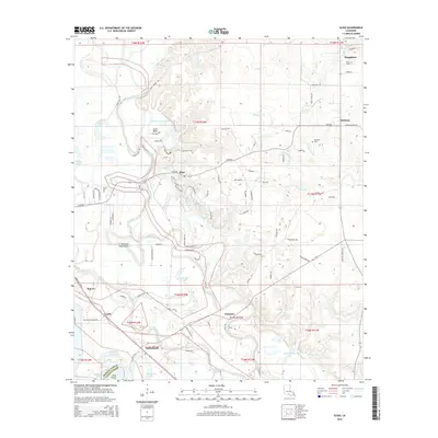
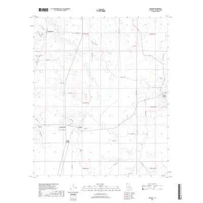
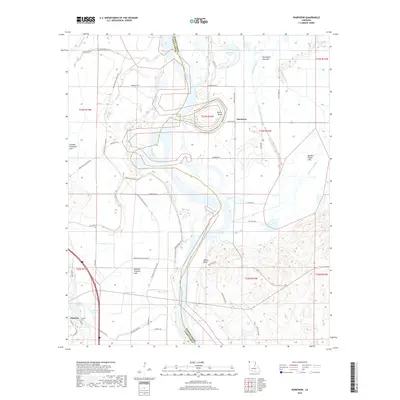
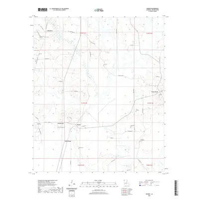
1950 Map of Plain Dealing SW
USGS Topo · Published 1950About this map
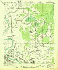
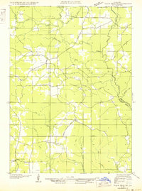
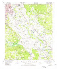
St Louis Southwestern RR tracks anchor the western landscape of this mid-century Bossier Parish survey, connecting the small rail settlements of Collinsburg and Alden Bridge. The area is defined by a rural network of churches and community landmarks, including Louisville Ch, New Hope Ch, and Booker Chapel, alongside the Cottage Grove Cemetery near Prest Ch. Industrial development is evident through the presence of the Magnolia Gas Company Pipe Line cutting across the southern sections.
Find a feature on this map
24 named features on this map. Tap any name to fly to it.
Don’t see what you’re looking for? This feature index may not catch every label — zoom into the map to look around manually.
Map Details
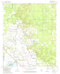
Editions of this 1950 Plain Dealing SW Map
This is the sole edition of this map. No revisions or reprints were ever made.
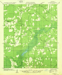
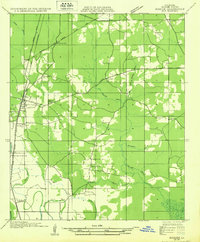
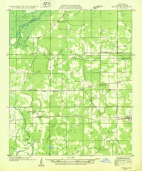
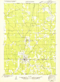
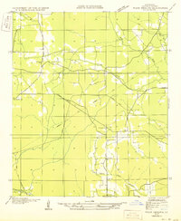
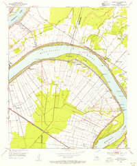
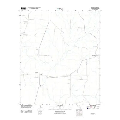
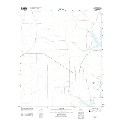
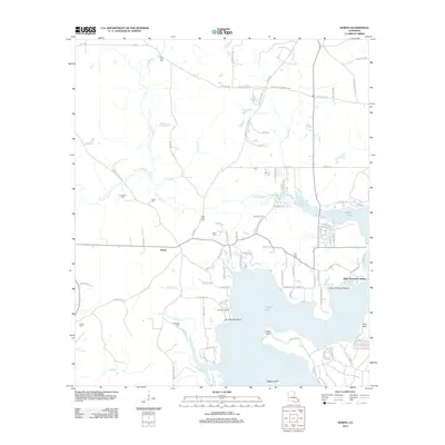
Historical Maps of Collinsburg Through Time
63 maps found
1932 Bossier NE
Bossier Parish, LA
1932 Bossier NW
Bossier Parish, LA
1932 Bossier SE
Bossier Parish, LA
1932 Bossier SW
Bossier Parish, LA
1932 Hosston NE
Bossier Parish, LA
1938 Arnsberg
Bossier Parish, LA
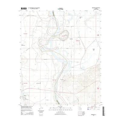
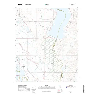
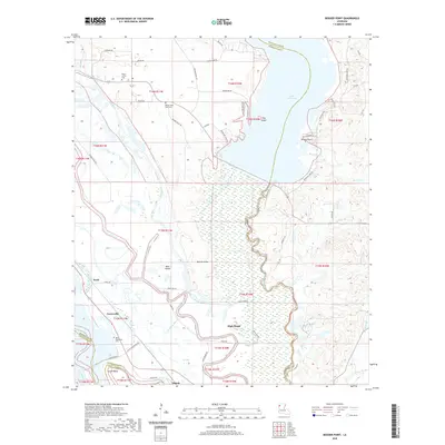
1941 Bossier Point
Bossier Parish, LA

1948 Caspiana
Bossier Parish, LA
1950 Plain Dealing NE
Bossier Parish, LA
1950 Plain Dealing NW
Bossier Parish, LA
1950 Plain Dealing SE
Bossier Parish, LA
1950 Plain Dealing SW
Bossier Parish, LA
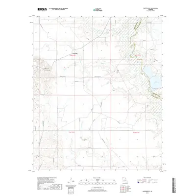
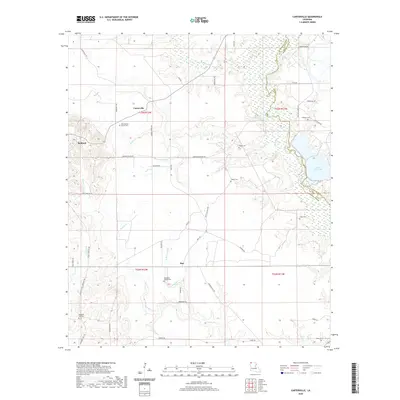
1953 Carterville
Bossier Parish, LA
1955 Caspiana
Bossier Parish, LA
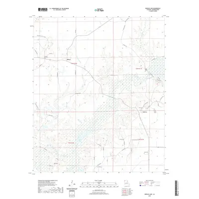
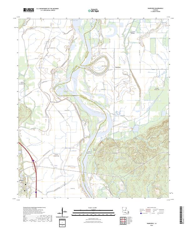
1971 Wardview
Bossier Parish, LA
1972 Bossier Point
Bossier Parish, LA
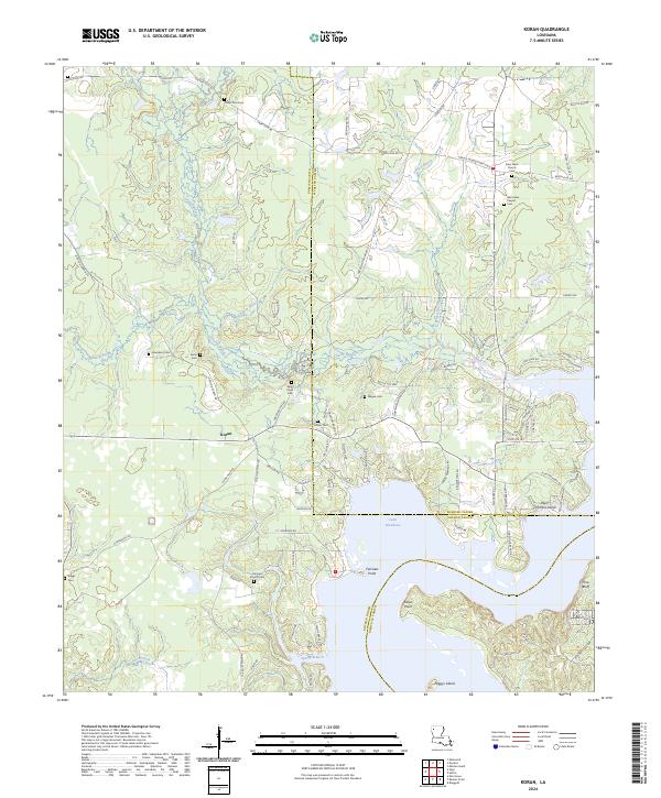
1972 Koran
Bossier Parish, LA
1975 Bodcau Lake
Bossier Parish, LA
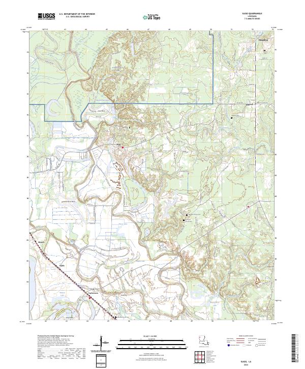
1980 Sligo
Bossier Parish, LA
1981 Carterville
Bossier Parish, LA
1981 Hughes
Bossier Parish, LA
1981 Ivan
Bossier Parish, LA
1986 Shreveport North
Bossier Parish, LA
2012 Bodcau Lake
Bossier Parish, LA
2012 Bossier Point
Bossier Parish, LA
2012 Carterville
Bossier Parish, LA
2012 Hughes
Bossier Parish, LA
2012 Ivan
Bossier Parish, LA
2012 Koran
Bossier Parish, LA
2012 Sligo
Bossier Parish, LA
2012 Wardview
Bossier Parish, LA
2015 Bodcau Lake
Bossier Parish, LA
2015 Bossier Point
Bossier Parish, LA
2015 Carterville
Bossier Parish, LA
2015 Hughes
Bossier Parish, LA
2015 Ivan
Bossier Parish, LA
2015 Koran
Bossier Parish, LA
2015 Sligo
Bossier Parish, LA
2015 Wardview
Bossier Parish, LA

2018 Bodcau Lake
Bossier Parish, LA
2018 Bossier Point
Bossier Parish, LA
2018 Carterville
Bossier Parish, LA
2018 Hughes
Bossier Parish, LA
2018 Ivan
Bossier Parish, LA
2018 Koran
Bossier Parish, LA
2018 Sligo
Bossier Parish, LA
2018 Wardview
Bossier Parish, LA
2020 Bodcau Lake
Bossier Parish, LA
2020 Bossier Point
Bossier Parish, LA
2020 Carterville
Bossier Parish, LA
2020 Hughes
Bossier Parish, LA

2020 Ivan
Bossier Parish, LA
2020 Koran
Bossier Parish, LA
2020 Sligo
Bossier Parish, LA
2020 Wardview
Bossier Parish, LA
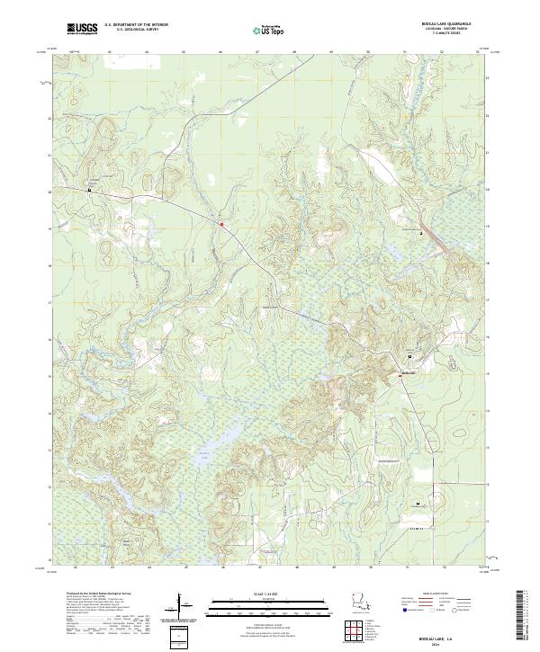
2024 Bodcau Lake
Bossier Parish, LA
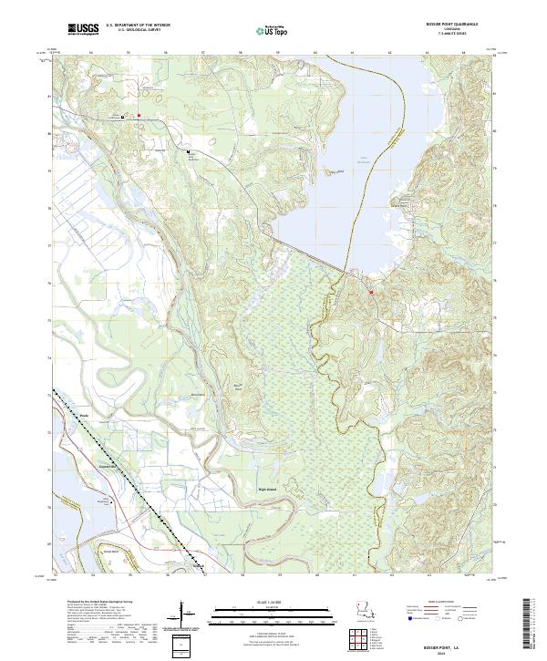
2024 Bossier Point
Bossier Parish, LA
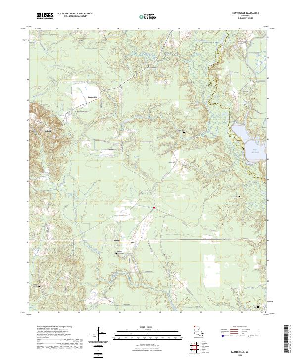
2024 Carterville
Bossier Parish, LA
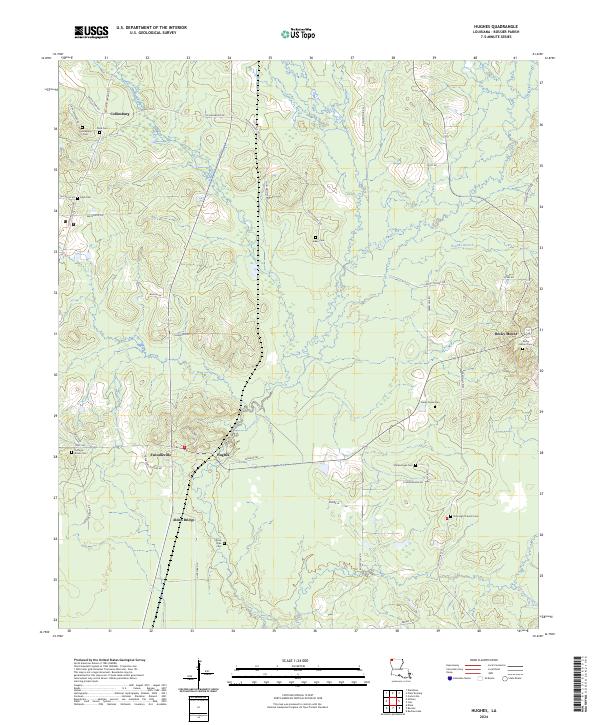
2024 Hughes
Bossier Parish, LA
2024 Ivan
Bossier Parish, LA
2024 Koran
Bossier Parish, LA
2024 Sligo
Bossier Parish, LA
2024 Wardview
Bossier Parish, LA