
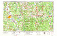
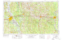
1955 Map of Shreveport
USGS Topo · Published 1955About this map
Barksdale Air Force Base and the extensive Louisiana Ordnance Plant anchor the mid-century landscape of northern Louisiana, reflecting the region's significant military and industrial presence. The map documents an area defined by the winding course of the Red River and the Ouachita River, alongside an economy heavily driven by energy extraction. Numerous designated zones like the Caddo Oil Field, Monroe Gas Field, and Rodessa Oil and Gas Field reveal the subsurface wealth that shaped local development from Vivian to Monroe.
Find a feature on this map
184 named features on this map. Tap any name to fly to it.
Don’t see what you’re looking for? This feature index may not catch every label — zoom into the map to look around manually.
Map Details
Editions of this 1955 Shreveport Map
3 editions found
Other maps of this area

1907 · Atlanta
USGS Topo · 1:62,500

1910 · Atlanta
USGS Topo · 1:62,500

1922 · Sarepta
USGS Topo · 1:62,500

1924 · Sarepta
USGS Topo · 1:62,500

1927 · El Dorado
USGS Topo · 1:62,500

1930 · El Dorado
USGS Topo · 1:62,500

1932 · Hosston NW
USGS Topo · 1:31,680

1932 · Bossier SE
USGS Topo · 1:31,680

1932 · Hosston NE
USGS Topo · 1:31,680

1932 · Bossier NE
USGS Topo · 1:31,680