2023 Map of Assumption
USGS Topo · Published 2023About this map
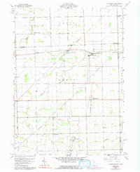
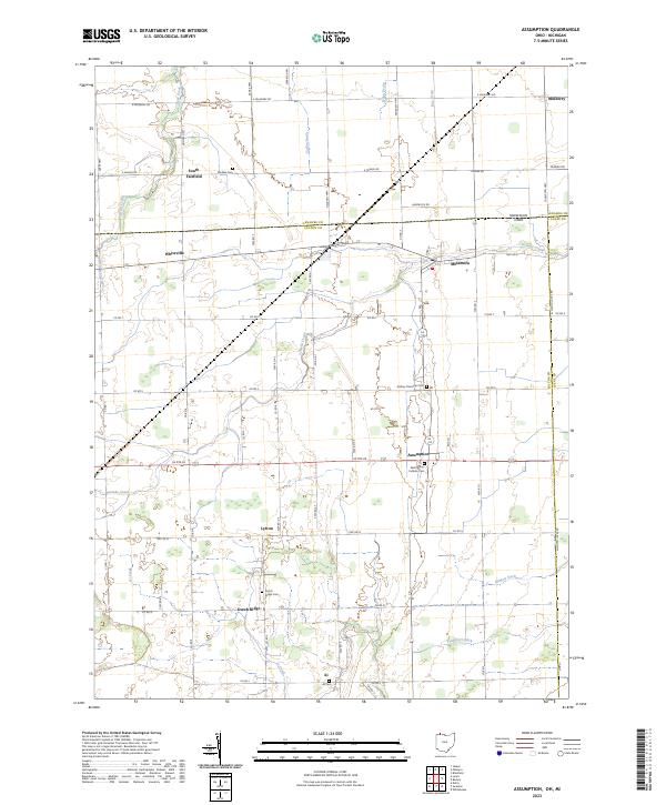
The state border between Michigan and Ohio bisects this landscape, marking a transition between Lenawee and Fulton counties. Agricultural patterns are deeply ingrained here, with a grid of rural roads such as E Mulberry Rd and US Rte 20 connecting scattered settlements. Small communities like Assumption, Metamora, and Lytton serve as local anchors, while the terrain is defined by a network of drainage ditches and creeks, including Frankfort Ditch, McNett Ditch, and Ai Creek, which manage the water levels of the surrounding farmland. For genealogists, the map is a primary source for locating family burials at sites like Saint Marys Catholic Cem, Amboy Township Cem, and the Ai Cem. The presence of numerous named cemeteries and the preservation of historic place names like Dutch Ridge and South Fairfield highlight the long-standing settlement history of this borderland region.
Find a feature on this map
68 named features on this map. Tap any name to fly to it.
Don’t see what you’re looking for? This feature index may not catch every label — zoom into the map to look around manually.
Map Details
Editions of this 2023 Assumption Map
This is the sole edition of this map. No revisions or reprints were ever made.