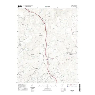
2014 Map of Athens
USGS Topo · Published 2014About this map
The Bluestone River carves through this West Virginia landscape, anchoring a network of small settlements and ridges. Athens serves as a local hub, defined by the campus of Concord Univ and landmarks like Anderson Field and Callaghan Stadium. Further south, the map captures the northern edges of Princeton and the nearby crossroads of Gardner Junction and Oak Grove. Historically significant sites like Mercer Healing Springs and the Monk Conn Ford along the river reflect a deep-rooted local geography.
Find a feature on this map
166 named features on this map. Tap any name to fly to it.
Don’t see what you’re looking for? This feature index may not catch every label — zoom into the map to look around manually.
Map Details
Editions of this 2014 Athens Map
This is the sole edition of this map. No revisions or reprints were ever made.
Other maps of this area

1887 · Pocahontas
USGS Topo · 1:125,000

1887 · Hinton
USGS Topo · 1:125,000

1890 · Dublin
USGS Topo · 1:125,000

1891 · Pocahontas
USGS Topo · 1:125,000

1891 · Dublin
USGS Topo · 1:125,000

1891 · Raleigh
USGS Topo · 1:125,000

1892 · Hinton
USGS Topo · 1:125,000

1894 · Pocahontas
USGS Topo · 1:125,000

1895 · Pocahontas
USGS Topo · 1:125,000

1897 · Raleigh
USGS Topo · 1:125,000