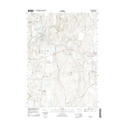
2015 Map of Athol
USGS Topo · Published 2015About this map
The Millers River flows through the northern industrial and residential heart of Athol, a region defined by its complex water systems and series of prominent ridges. In the early 21st century, the landscape retains a dense network of local-history landmarks, including numerous burial grounds like Silver Lake Cem and Saint Stanislaus Cem. The settlement pattern transitions from the concentrated streets of Athol to smaller outposts such as Pinedale, The Street, and Phillipston Four Corners. High terrain like Cobb Hill and Baldwin Hill overlooks a valley managed by several reservoirs, including the Phillipston Reservoir and Summer Street Reservoir. To the south, the terrain becomes increasingly defined by brooks and ponds such as Harvard Pond and Riceville Pond, reflecting the rural character of southeastern Worcester County.
Find a feature on this map
153 named features on this map. Tap any name to fly to it.
Don’t see what you’re looking for? This feature index may not catch every label — zoom into the map to look around manually.
Map Details
Editions of this 2015 Athol Map
This is the sole edition of this map. No revisions or reprints were ever made.
Other maps of this area

1887 · Warwick
USGS Topo · 1:62,500

1887 · Belchertown
USGS Topo · 1:62,500

1887 · Winchendon
USGS Topo · 1:62,500

1887 · Barre
USGS Topo · 1:62,500

1889 · Barre
USGS Topo · 1:62,500

1889 · Warwick
USGS Topo · 1:62,500

1890 · Belchertown
USGS Topo · 1:62,500

1890 · Winchendon
USGS Topo · 1:62,500

1893 · Belchertown
USGS Topo · 1:62,500

1894 · Winchendon
USGS Topo · 1:62,500