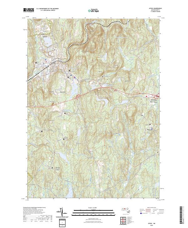
2024 Map of Athol
USGS Topo · Published 2024About this map
The Millers River corridor anchors this portion of Worcester County, where the industrial and transport history of Athol meets the more dispersed rural character of Phillipston. The landscape is defined by its water management and transit networks, featuring the Pan Am Southern rail line and numerous reservoirs like the Thousand Acre Reservoir and Newton Reservoir. This modern survey reveals a complex of local history preserved in its cemeteries, including New Sherborn Cem and the Saint Stanislaus Cem.
Find a feature on this map
141 named features on this map. Tap any name to fly to it.
Don’t see what you’re looking for? This feature index may not catch every label — zoom into the map to look around manually.
Map Details
Editions of this 2024 Athol Map
This is the sole edition of this map. No revisions or reprints were ever made.
Other maps of this area

1887 · Warwick
USGS Topo · 1:62,500

1887 · Belchertown
USGS Topo · 1:62,500

1887 · Winchendon
USGS Topo · 1:62,500

1887 · Barre
USGS Topo · 1:62,500

1889 · Barre
USGS Topo · 1:62,500

1889 · Warwick
USGS Topo · 1:62,500

1890 · Belchertown
USGS Topo · 1:62,500

1890 · Winchendon
USGS Topo · 1:62,500

1893 · Belchertown
USGS Topo · 1:62,500

1894 · Winchendon
USGS Topo · 1:62,500