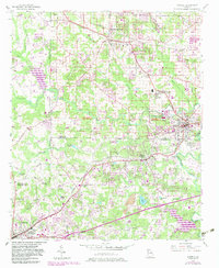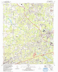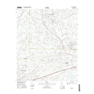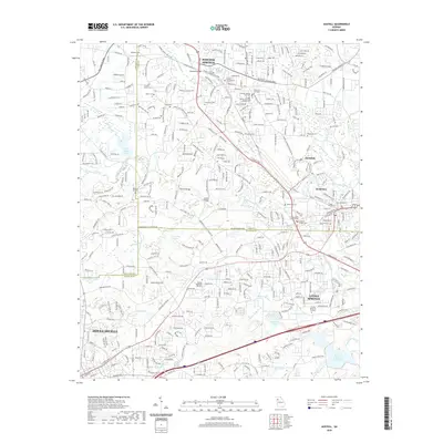
1999 Map of Austell
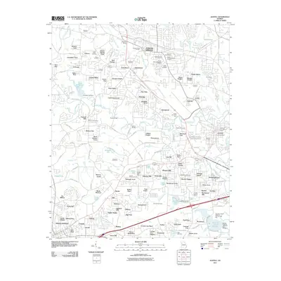
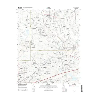
USGS Topo · Published 2003About this map
Powder Springs and Austell serve as the primary hubs in this late-twentieth-century landscape, where the convergence of the Norfolk Southern railroad lines and several major creek systems define the regional geography. The map illustrates a period of significant suburban expansion between Douglasville and the Cobb County line, yet it retains numerous markers of its earlier rural character. Genealogists and local historians will find a high density of small family and community burial grounds, including the Croker-Elliott Cem, Meadow Cem, and Rose Hill Cem.
Find a feature on this map
69 named features on this map. Tap any name to fly to it.
Don’t see what you’re looking for? This feature index may not catch every label — zoom into the map to look around manually.
Map Details
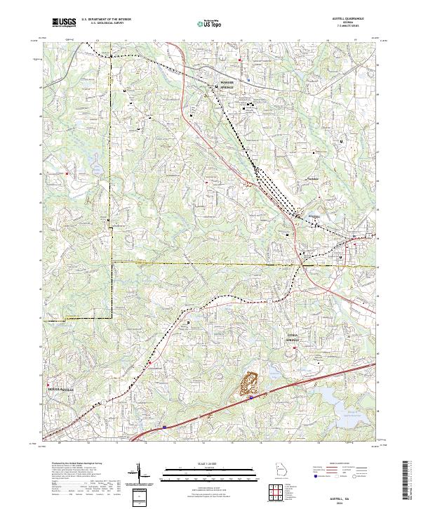
Editions of this 1999 Austell Map
This is the sole edition of this map. No revisions or reprints were ever made.
Historical Maps of Douglasville Through Time
8 maps found