Loading...
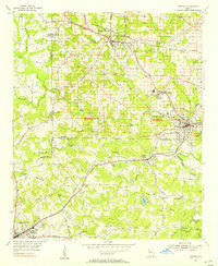
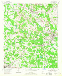
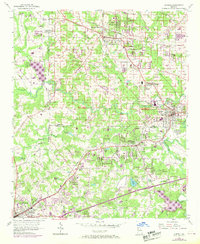
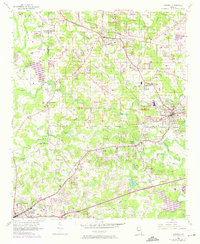
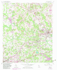
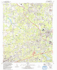
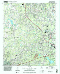
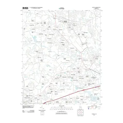
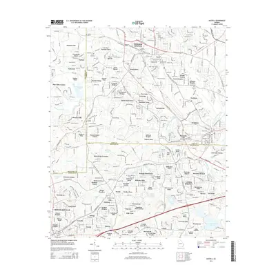
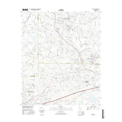
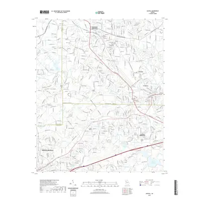
Loading map...1954 Map of Austell
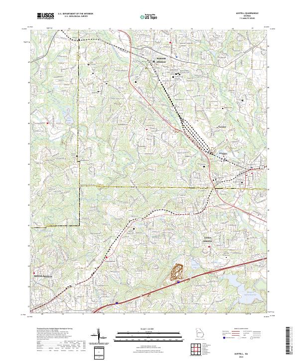
USGS Topo · Published 1956About this map
Powder Springs and Austell serve as the primary hubs in this mid-century portrait of Cobb and Douglas Counties, where the industrial and agricultural character of the region is clearly visible. The landscape is defined by the heavy infrastructure of the Seaboard Air Line and Southern Railway, which converge and parallel the Bankhead Highway. This transportation network supported small mill communities like Clarkdale and local landmarks such as the Drive-in Theater and Golf Course.
Find a feature on this map
57 named features on this map. Tap any name to fly to it.
Don’t see what you’re looking for? This feature index may not catch every label — zoom into the map to look around manually.
Map Details
Date Portrayed1954
Date Published1956
PublisherU.S. Geological Survey
Map TypeTopographic
Scale1:24,000
Physical Dimensions22 x 26.9 inches
Editions of this 1954 Austell Map
5 editions found
Historical Maps of Douglasville Through Time
8 maps found
Featured Locations
Source Details
SourceU.S. Geological Survey
CopyrightPublic Domain