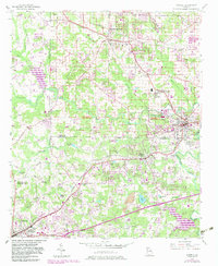
1954 Map of Austell
USGS Topo · Published 1983About this map
Powder Springs and Austell anchor a landscape defined by the convergence of the Southern and Seaboard railroads during the mid-20th century. The terrain is marked by a network of waterways including Sweetwater Creek, Noses Creek, and Olley Creek, which supported early settlement patterns across Cobb, Douglas, and Paulding counties. Cultural life is evidenced by numerous local landmarks such as Smith Chapel, Union Grove Church, and the Beulah School. To the south, the expansive Sweetwater Creek State Park sits near the developing corridor of the Bankhead Highway. Revisions from the early 1980s highlight suburban expansion and infrastructure growth around Douglasville and Lithia Springs, showing the area's transition from a rail-dependent rural district to a suburban extension of the Atlanta metropolitan region.
Find a feature on this map
40 named features on this map. Tap any name to fly to it.
Don’t see what you’re looking for? This feature index may not catch every label — zoom into the map to look around manually.
Map Details
Editions of this 1954 Austell Map
5 editions found
Other maps of this area

1891 · Marietta
USGS Topo · 1:125,000

1895 · Marietta
USGS Topo · 1:125,000

1897 · Marietta
USGS Topo · 1:125,000

1901 · Marietta
USGS Topo · 1:125,000

1953 · Atlanta
USGS Topo · 1:250,000

1954 · Campbellton
USGS Topo · 1:24,000
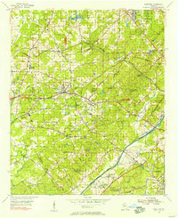
1954 · Mableton
USGS Topo · 1:24,000
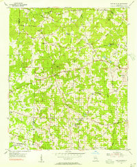
1954 · Lost Mountain
USGS Topo · 1:24,000

1954 · Austell
USGS Topo · 1:24,000
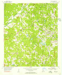
1954 · Ben Hill
USGS Topo · 1:24,000