Loading...
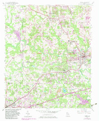
Loading map...1954 Map of Austell
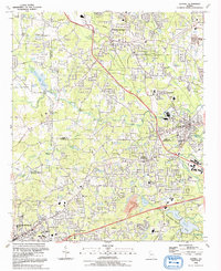
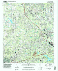
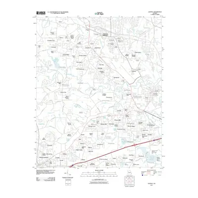
USGS Topo · Published 1974About this map
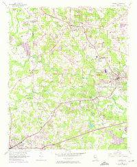
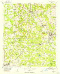
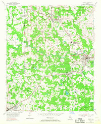
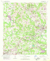
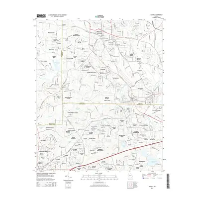
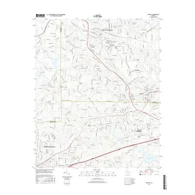
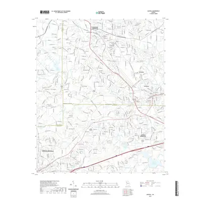
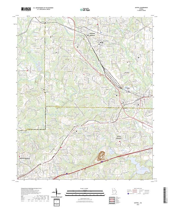
Powder Springs and Austell anchor this mid-century portrait of western Cobb and eastern Douglas counties, where the agrarian past meets post-war suburbanization. The industrial influence of the Southern and Seaboard Coast Line railroads is evident, particularly around the mill village of Clarkdale. A network of country roads like Maroney Mill Road and Beular Road connects numerous community focal points, including Smith Chapel and Union Grove Church.
Find a feature on this map
38 named features on this map. Tap any name to fly to it.
Don’t see what you’re looking for? This feature index may not catch every label — zoom into the map to look around manually.
Map Details
Date Portrayed1954
Date Published1974
PublisherU.S. Geological Survey
Map TypeTopographic
Scale1:24,000
Physical Dimensions22 x 26.9 inches
Editions of this 1954 Austell Map
5 editions found
Historical Maps of Douglasville Through Time
8 maps found
Featured Locations
Source Details
SourceU.S. Geological Survey
CopyrightPublic Domain