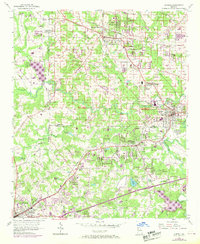
1954 Map of Austell
USGS Topo · Published 1969About this map
Powder Springs and Austell serve as the primary hubs in this mid-century portrait of suburbanizing northwest Georgia. The landscape is defined by the corridors of the Southern and Seaboard Coast Line railroads, which facilitated growth through Clarkdale and down toward Lithia Springs. While increasing development is evident through new housing subdivisions and industrial features like a Substation and Sewage Disposal plant, the map preserves older rural landmarks such as Browns Bridge and Stansil Bridge. Local life revolves around institutions like Beulah Sch and numerous country congregations including Union Grove Ch and Smith Chapel. The presence of the U.S. Government Reservation Monitoring Sta in the north and the recreational Golf Course to the east illustrate the area's transition from a strictly agrarian region to a multifaceted residential and government-service fringe of the Atlanta metropolitan area.
Find a feature on this map
51 named features on this map. Tap any name to fly to it.
Don’t see what you’re looking for? This feature index may not catch every label — zoom into the map to look around manually.
Map Details
Editions of this 1954 Austell Map
5 editions found
Other maps of this area

1891 · Marietta
USGS Topo · 1:125,000

1895 · Marietta
USGS Topo · 1:125,000

1897 · Marietta
USGS Topo · 1:125,000

1901 · Marietta
USGS Topo · 1:125,000

1953 · Atlanta
USGS Topo · 1:250,000

1954 · Campbellton
USGS Topo · 1:24,000
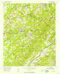
1954 · Mableton
USGS Topo · 1:24,000
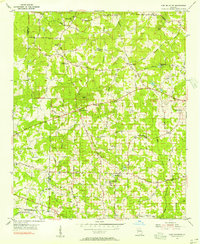
1954 · Lost Mountain
USGS Topo · 1:24,000

1954 · Austell
USGS Topo · 1:24,000
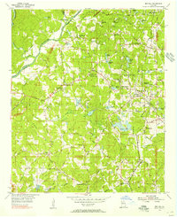
1954 · Ben Hill
USGS Topo · 1:24,000