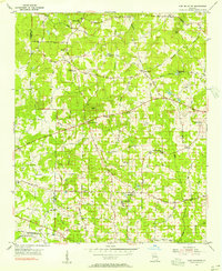
1954 Map of Lost Mountain
USGS Topo · Published 1956About this map
Lost Mtn and Pine Mtn rise above a landscape of farming communities and country crossroads in mid-century West Cobb. This mid-1950s survey captures the region before its suburban transformation, centered on established rural hubs like Macland, Due West, and Lost Mountain. The road network is deeply tied to early geography and families, with names like Burnt Hickory Road, Stilesboro Road, and Luther Ward Road connecting the scattered homes and farms.
Find a feature on this map
52 named features on this map. Tap any name to fly to it.
Don’t see what you’re looking for? This feature index may not catch every label — zoom into the map to look around manually.
Map Details
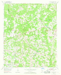
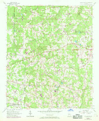
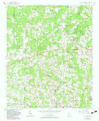
Editions of this 1954 Lost Mountain Map
4 editions found
Other maps of this area

1890 · Cartersville
USGS Topo · 1:125,000

1891 · Marietta
USGS Topo · 1:125,000

1891 · Cartersville
USGS Topo · 1:125,000

1895 · Marietta
USGS Topo · 1:125,000

1896 · Cartersville
USGS Topo · 1:125,000

1897 · Marietta
USGS Topo · 1:125,000

1901 · Marietta
USGS Topo · 1:125,000

1906 · Stilesboro
USGS Topo · 1:62,500

1907 · Acworth
USGS Topo · 1:62,500

1908 · Stilesboro
USGS Topo · 1:62,500