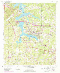
1907 Map of Acworth
USGS Topo · Published 1954About this map
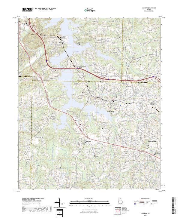
The Etowah River snakes across the northern half of this landscape, its waters serving as a primary corridor for commerce before the creation of modern reservoirs. Near the center of the sheet, the river is crossed by historic transport infrastructure including Webster Ferry, Island Mills Ferry, and Galts Ferry, alongside structural crossings like Fields Bridge and Steels Bridge. These points of transit illustrate the vital connection between communities separated by the river's winding path through Bartow and Cherokee counties.
Find a feature on this map
59 named features on this map. Tap any name to fly to it.
Don’t see what you’re looking for? This feature index may not catch every label — zoom into the map to look around manually.
Map Details
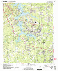
Editions of this 1907 Acworth Map
This is the sole edition of this map. No revisions or reprints were ever made.
Historical Maps of Marietta Through Time
9 maps found