
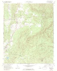
1908 Map of Stilesboro
USGS Topo · Published 1908About this map
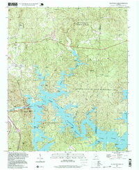
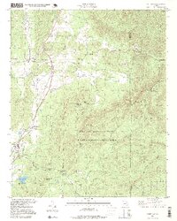
Cartersville serves as a major hub in this northern Georgia landscape, where the Etowah River snakes westward toward the confluence at Woollys. The turn-of-the-century economy is clearly visible through a dense concentration of railroads, including the Rome RR, Western and Atlantic RR, and the Cartersville and Rockmart RR. These lines connect manufacturing and agricultural centers like Kingston, Cass Station, and Emerson, while river crossings such as Island Ford and Harden Bridge indicate the primary overland routes of the era.
Find a feature on this map
58 named features on this map. Tap any name to fly to it.
Don’t see what you’re looking for? This feature index may not catch every label — zoom into the map to look around manually.
Map Details
Editions of this 1908 Stilesboro Map
This is the sole edition of this map. No revisions or reprints were ever made.
Historical Maps of Cartersville Through Time
23 maps found

1906 Stilesboro
Bartow County, GA
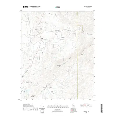
1908 Stilesboro
Bartow County, GA
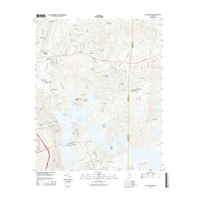
1961 Allatoona Dam
Bartow County, GA
1968 Allatoona Dam
Bartow County, GA
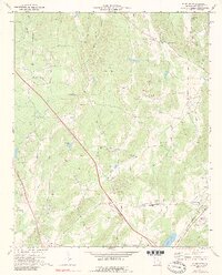
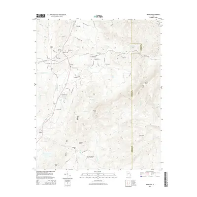
1972 White East
Bartow County, GA
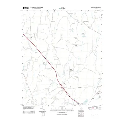
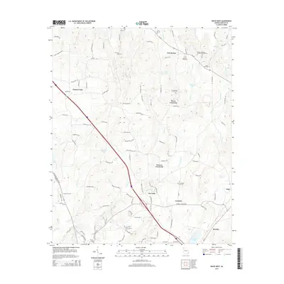
1972 White West
Bartow County, GA
1997 Allatoona Dam
Bartow County, GA
1997 White East
Bartow County, GA
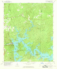
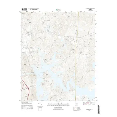
2011 Allatoona Dam
Bartow County, GA
2011 White East
Bartow County, GA
2011 White West
Bartow County, GA
2014 Allatoona Dam
Bartow County, GA
2014 White East
Bartow County, GA
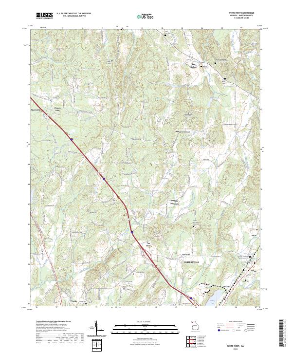
2014 White West
Bartow County, GA
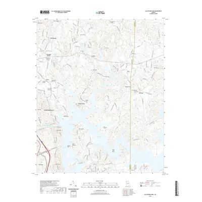
2017 Allatoona Dam
Bartow County, GA
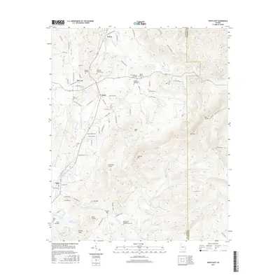
2017 White East
Bartow County, GA
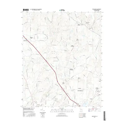
2017 White West
Bartow County, GA
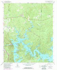
2020 Allatoona Dam
Bartow County, GA
2020 White East
Bartow County, GA
2020 White West
Bartow County, GA
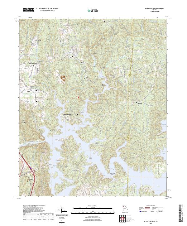
2024 Allatoona Dam
Bartow County, GA
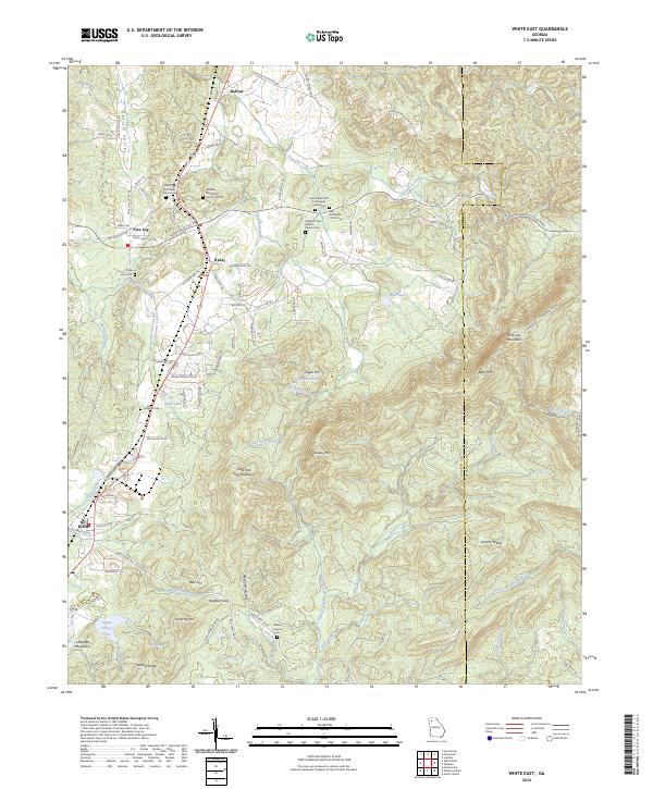
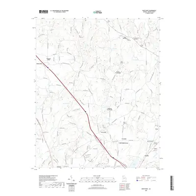
2024 White East
Bartow County, GA
2024 White West
Bartow County, GA