
1906 Map of Stilesboro
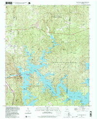
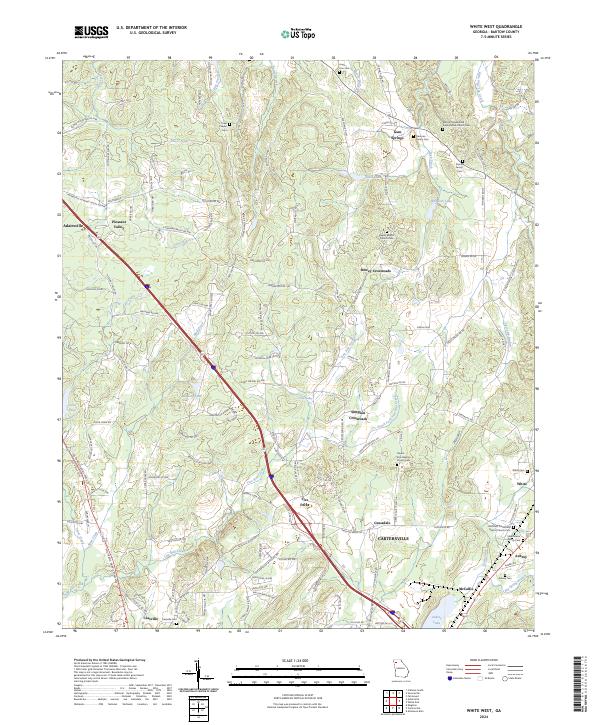
USGS Topo · Published 1971About this map
The Etowah River carves a winding path through this North Georgia landscape, serving as the central artery for a region defined by its early 20th-century rail infrastructure. Industrial and agricultural hubs like Cartersville and Kingston are shown at a high point of rail connectivity, where lines like the Western and Atlantic RR and the Seaboard Air Line Ry intersect. The map documents numerous smaller rail-dependent locales, including Cass Station and Bests Sta Cave PO, reflecting a time when the post office and the depot were the primary links to the outside world.
Find a feature on this map
61 named features on this map. Tap any name to fly to it.
Don’t see what you’re looking for? This feature index may not catch every label — zoom into the map to look around manually.
Map Details
Editions of this 1906 Stilesboro Map
This is the sole edition of this map. No revisions or reprints were ever made.
Historical Maps of Cartersville Through Time
23 maps found
1906 Stilesboro
Bartow County, GA

1908 Stilesboro
Bartow County, GA
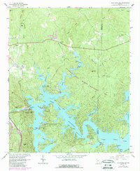
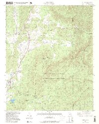
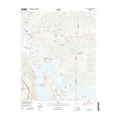
1961 Allatoona Dam
Bartow County, GA
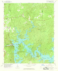
1968 Allatoona Dam
Bartow County, GA
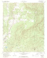
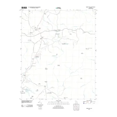
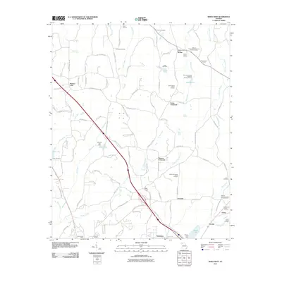
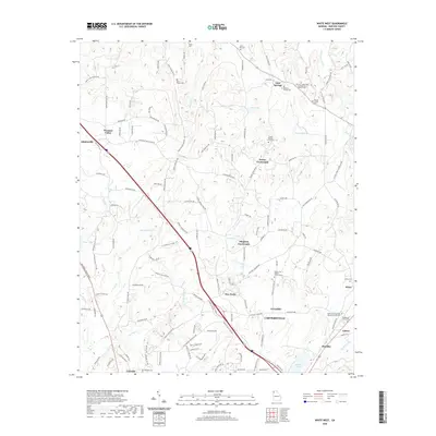
1972 White East
Bartow County, GA
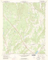
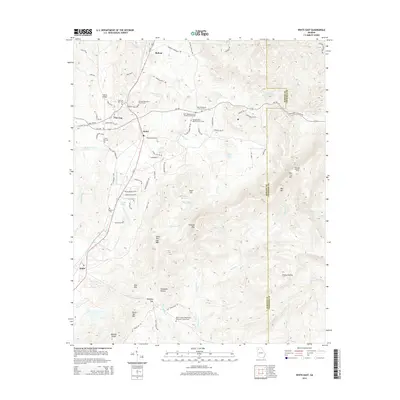
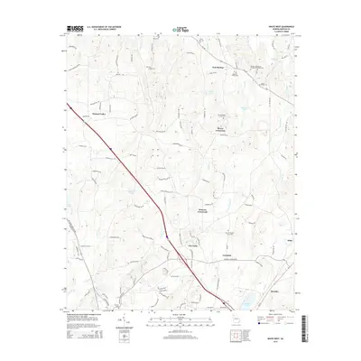
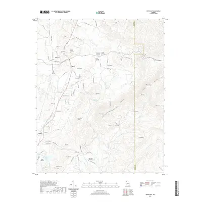
1972 White West
Bartow County, GA
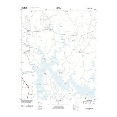
1997 Allatoona Dam
Bartow County, GA
1997 White East
Bartow County, GA
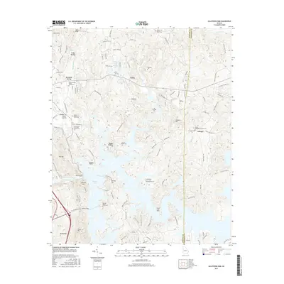
2011 Allatoona Dam
Bartow County, GA
2011 White East
Bartow County, GA
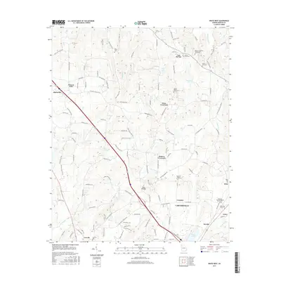
2011 White West
Bartow County, GA
2014 Allatoona Dam
Bartow County, GA
2014 White East
Bartow County, GA
2014 White West
Bartow County, GA
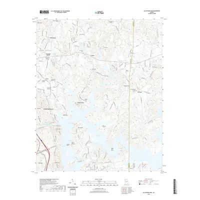
2017 Allatoona Dam
Bartow County, GA
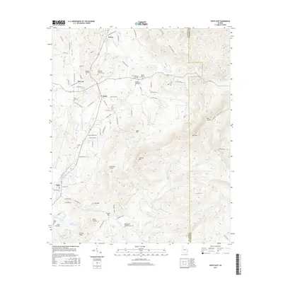
2017 White East
Bartow County, GA
2017 White West
Bartow County, GA
2020 Allatoona Dam
Bartow County, GA
2020 White East
Bartow County, GA
2020 White West
Bartow County, GA
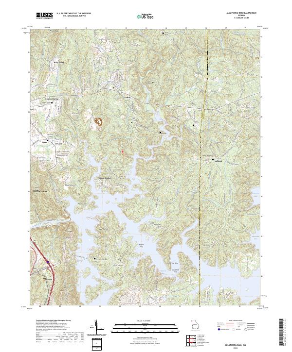
2024 Allatoona Dam
Bartow County, GA
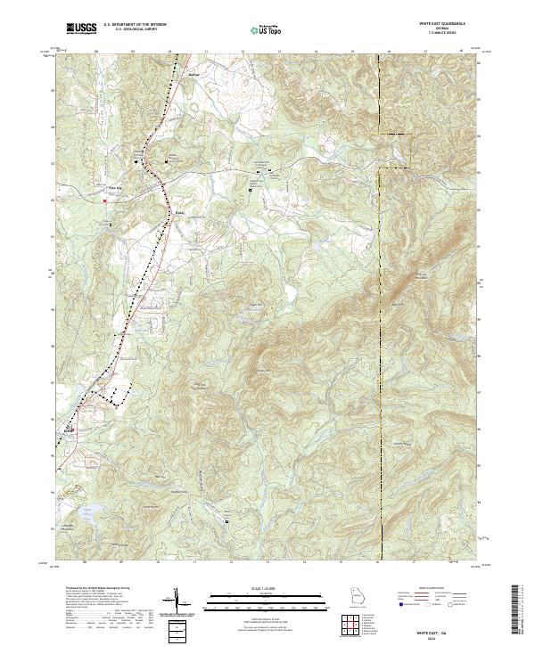
2024 White East
Bartow County, GA
2024 White West
Bartow County, GA