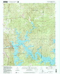
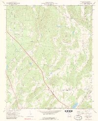
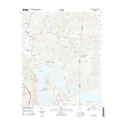
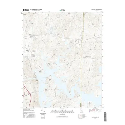
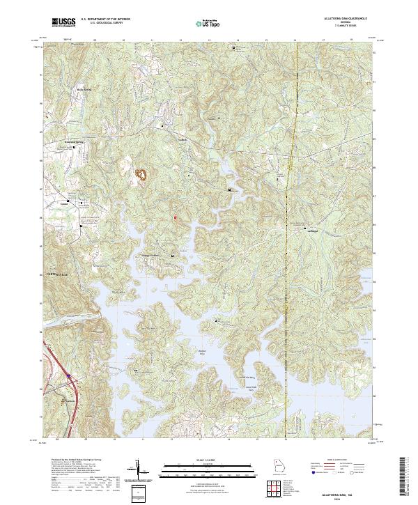
1997 Map of Allatoona Dam
USGS Topo · Published 1999About this map
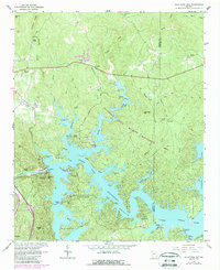
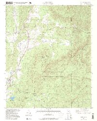
Lake Allatoona dominates this Georgia landscape, its irregular shoreline reaching into the deep hollows of the Bartow and Cherokee county lines. The construction of the Allatoona Dam transformed the Etowah River valley, creating a massive reservoir that now laps against the base of Red Top Mtn and provides the foundation for Red Top Mountain State Park. While the water redefined the geography, older layers of human activity remain visible in the surrounding hills, from the Strip Mine near Center to the numerous family burial grounds like Shinall Cem and Rowland Spring Cem.
Find a feature on this map
55 named features on this map. Tap any name to fly to it.
Don’t see what you’re looking for? This feature index may not catch every label — zoom into the map to look around manually.
Map Details
Editions of this 1997 Allatoona Dam Map
This is the sole edition of this map. No revisions or reprints were ever made.
Historical Maps of Cartersville Through Time
23 maps found

1906 Stilesboro
Bartow County, GA

1908 Stilesboro
Bartow County, GA
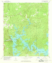
1961 Allatoona Dam
Bartow County, GA
1968 Allatoona Dam
Bartow County, GA
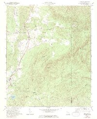
1972 White East
Bartow County, GA
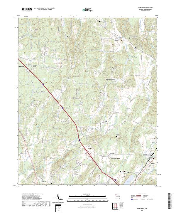
1972 White West
Bartow County, GA
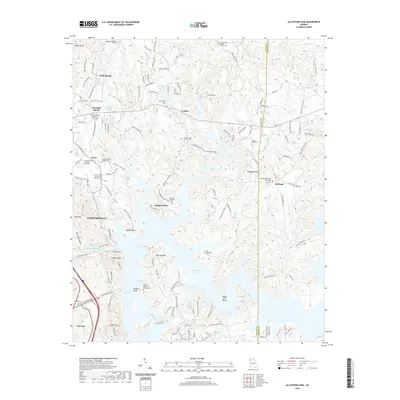
1997 Allatoona Dam
Bartow County, GA
1997 White East
Bartow County, GA
2011 Allatoona Dam
Bartow County, GA
2011 White East
Bartow County, GA
2011 White West
Bartow County, GA
2014 Allatoona Dam
Bartow County, GA
2014 White East
Bartow County, GA
2014 White West
Bartow County, GA
2017 Allatoona Dam
Bartow County, GA
2017 White East
Bartow County, GA
2017 White West
Bartow County, GA
2020 Allatoona Dam
Bartow County, GA
2020 White East
Bartow County, GA
2020 White West
Bartow County, GA
2024 Allatoona Dam
Bartow County, GA
2024 White East
Bartow County, GA
2024 White West
Bartow County, GA