Loading...
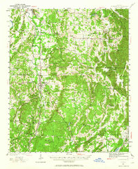
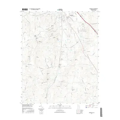
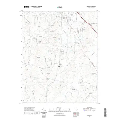
Loading map...1941 Map of Adairsville
USGS Topo · Published 1964About this map
Adairsville serves as the central hub of this survey, situated along the Nashville Chattanooga & St Louis RR and the winding course of Oothkalooga Creek. The map reflects a landscape defined by small rural communities and family-named landmarks, such as the Corra Harris Home and the Adairsville Airport. To the east, the terrain rises into Pine Log Mountain, while the valleys are dotted with historic gathering places like Oothkalooga Ch, Towe Chapel, and Wesley Chapel.
Find a feature on this map
91 named features on this map. Tap any name to fly to it.
Don’t see what you’re looking for? This feature index may not catch every label — zoom into the map to look around manually.
Map Details
Date Portrayed1941
Date Published1964
PublisherU.S. Geological Survey
Map TypeTopographic
Scale1:62,500
Physical Dimensions16.8 x 20.7 inches
Editions of this 1941 Adairsville Map
This is the sole edition of this map. No revisions or reprints were ever made.
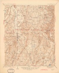
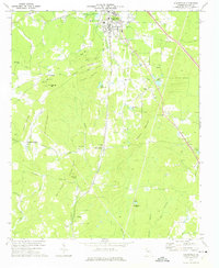
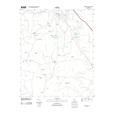
Historical Maps of Cartersville Through Time
8 maps found

Featured Locations
Source Details
SourceU.S. Geological Survey
CopyrightPublic Domain