
1897 Map of Dalton
USGS Topo · Published 1897About this map
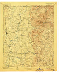
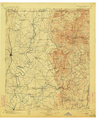
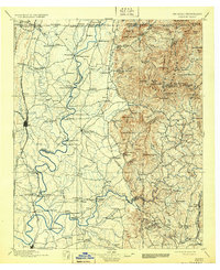
Dalton serves as the primary railroad hub for this Northwest Georgia landscape, where the Western and Atlantic Railroad and Southern Railway converge. The terrain transitions from the lowlands of the Conasauga River to the high ridges of Cohutta Mountain and Fort Mountain. Settled communities like Spring Place and Cohutta Springs are connected by a network of river crossings and the historic Federal Road.
Find a feature on this map
142 named features on this map. Tap any name to fly to it.
Don’t see what you’re looking for? This feature index may not catch every label — zoom into the map to look around manually.
Map Details
Editions of this 1897 Dalton Map
4 editions found
Other maps of this area

1886 · Dalton
USGS Topo · 1:125,000

1886 · Cleveland
USGS Topo · 1:125,000

1886 · Ringgold
USGS Topo · 1:125,000

1886 · Rome
USGS Topo · 1:125,000

1888 · Ellijay
USGS Topo · 1:125,000

1888 · Chattanooga
USGS Topo · 1:125,000

1890 · Suwanee
USGS Topo · 1:125,000

1890 · Cartersville
USGS Topo · 1:125,000

1891 · Cartersville
USGS Topo · 1:125,000

1892 · Ringgold
USGS Topo · 1:125,000