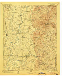
1897 Map of Dalton
USGS Topo · Published 1904About this map
Dalton and the surrounding river valleys of Northwest Georgia are captured here in a period of transition, where the heavy industry of the Southern Ry. and Western and Atlantic railroads meets an older landscape of river crossings and mountain gaps. The Connasauga River and Coosawattee River dominate the central terrain, served by an extensive network of water-dependent infrastructure including Montgomery Ferry, Shackelford Ferry, and Fields Mill Ferry.
Find a feature on this map
160 named features on this map. Tap any name to fly to it.
Don’t see what you’re looking for? This feature index may not catch every label — zoom into the map to look around manually.
Map Details
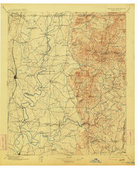
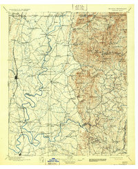
Editions of this 1897 Dalton Map
4 editions found

Other maps of this area

1886 · Dalton
USGS Topo · 1:125,000

1886 · Cleveland
USGS Topo · 1:125,000

1886 · Ringgold
USGS Topo · 1:125,000

1886 · Rome
USGS Topo · 1:125,000

1888 · Ellijay
USGS Topo · 1:125,000

1888 · Chattanooga
USGS Topo · 1:125,000

1890 · Suwanee
USGS Topo · 1:125,000

1890 · Cartersville
USGS Topo · 1:125,000

1891 · Cartersville
USGS Topo · 1:125,000

1892 · Ringgold
USGS Topo · 1:125,000