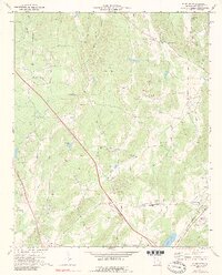
1972 Map of White West
USGS Topo · Published 1990About this map
Cassville and the surrounding Bartow County countryside are captured here in the early 1970s, a landscape shaped by rural crossroads and early industrial excavations. The area is marked by numerous family and community landmarks, including the Corra Harris Home Grave in the northeast and several small country churches like Towe Chapel and Best Chapel. The L & N railroad line cuts a straight path through the center of the sheet, reflecting the historical importance of rail transport for moving local resources.
Find a feature on this map
44 named features on this map. Tap any name to fly to it.
Don’t see what you’re looking for? This feature index may not catch every label — zoom into the map to look around manually.
Map Details
Editions of this 1972 White West Map
2 editions found
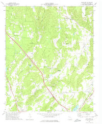
Other maps of this area

1890 · Cartersville
USGS Topo · 1:125,000

1891 · Cartersville
USGS Topo · 1:125,000

1896 · Cartersville
USGS Topo · 1:125,000

1906 · Stilesboro
USGS Topo · 1:62,500

1907 · Acworth
USGS Topo · 1:62,500

1908 · Stilesboro
USGS Topo · 1:62,500

1909 · Acworth
USGS Topo · 1:62,500

1941 · Adairsville
USGS Topo · 1:62,500

1944 · Adairsville
USGS Topo · 1:62,500

1947 · Waleska
USGS Topo · 1:62,500