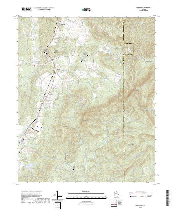
1972 Map of White East
USGS Topo · Published 1989About this map
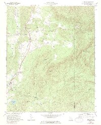
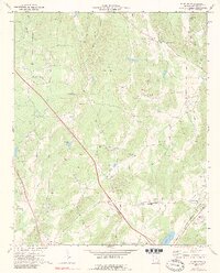
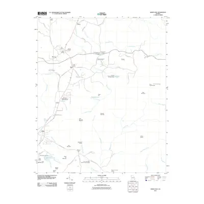
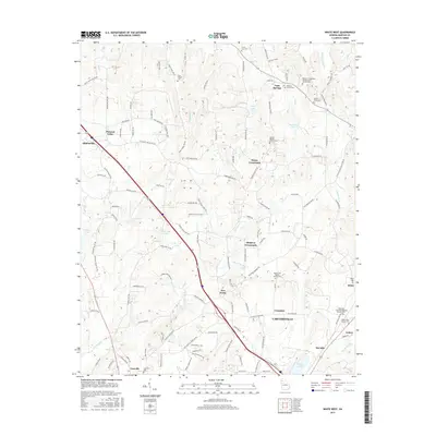
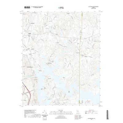
Pine Log Mountain and Little Pine Log Mountain dominate this landscape along the border of Bartow and Cherokee counties. In the early 1970s, the western lowlands show a concentrated corridor of settlement and transport centered on Rydal and Pine Log. The Louisville and Nashville railroad runs parallel to the mountains, connecting the northern hamlet of Bolivar to the southern town of White.
Find a feature on this map
49 named features on this map. Tap any name to fly to it.
Don’t see what you’re looking for? This feature index may not catch every label — zoom into the map to look around manually.
Map Details
Editions of this 1972 White East Map
2 editions found
Historical Maps of White Through Time
23 maps found

1906 Stilesboro
Bartow County, GA

1908 Stilesboro
Bartow County, GA
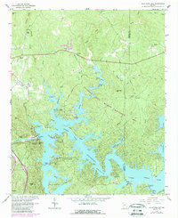
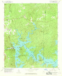
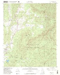
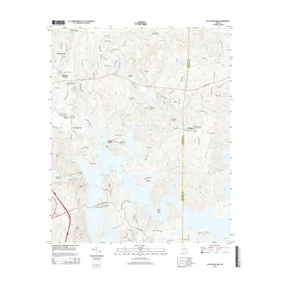
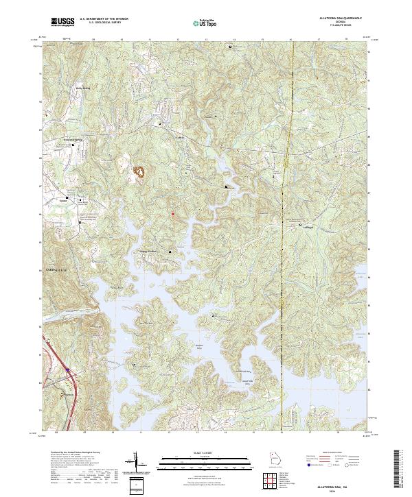
1961 Allatoona Dam
Bartow County, GA
1968 Allatoona Dam
Bartow County, GA
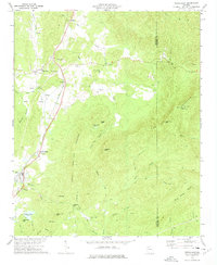
1972 White East
Bartow County, GA
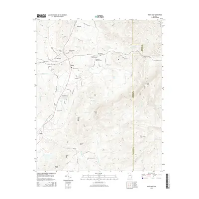
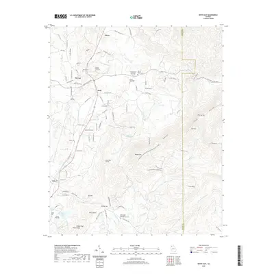
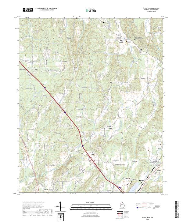
1972 White West
Bartow County, GA
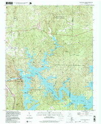
1997 Allatoona Dam
Bartow County, GA
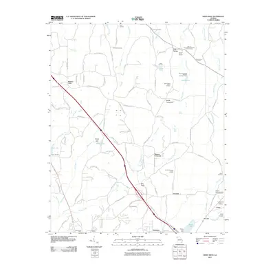
1997 White East
Bartow County, GA
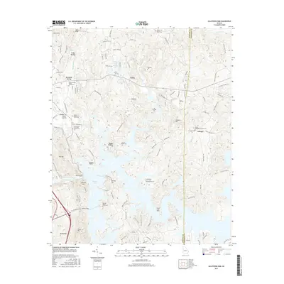
2011 Allatoona Dam
Bartow County, GA
2011 White East
Bartow County, GA
2011 White West
Bartow County, GA
2014 Allatoona Dam
Bartow County, GA
2014 White East
Bartow County, GA
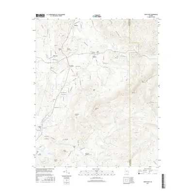
2014 White West
Bartow County, GA
2017 Allatoona Dam
Bartow County, GA
2017 White East
Bartow County, GA
2017 White West
Bartow County, GA
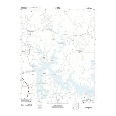
2020 Allatoona Dam
Bartow County, GA
2020 White East
Bartow County, GA
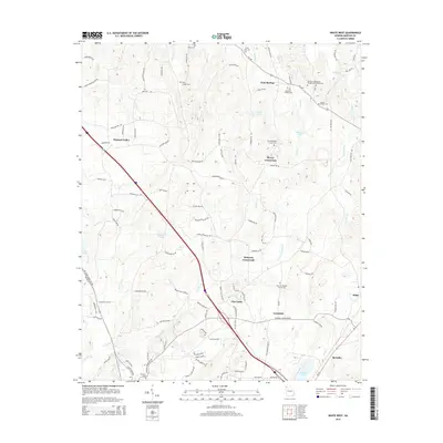
2020 White West
Bartow County, GA
2024 Allatoona Dam
Bartow County, GA
2024 White East
Bartow County, GA
2024 White West
Bartow County, GA