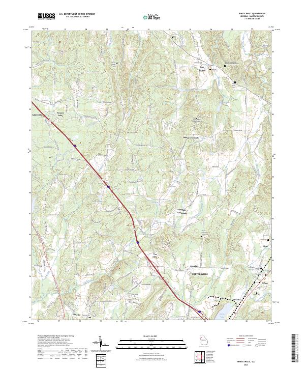
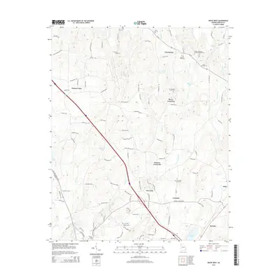
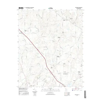
2024 Map of White West
USGS Topo · Published 2024About this map
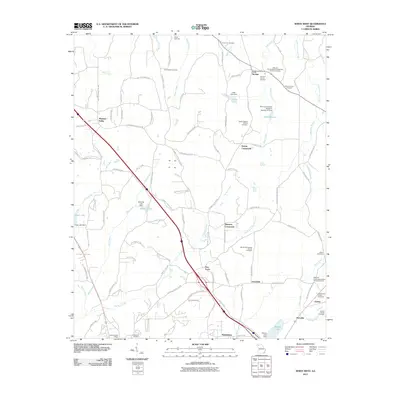
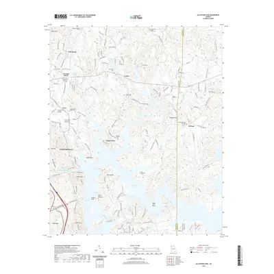
Cassville and the northern outskirts of Cartersville anchor the landscape of Bartow County, where historical family sites and rural crossroads define the terrain. The area is dense with legacy burial grounds, ranging from the Towe Chapel Cem in the north to the Stephenson Family Cem further south. This 2024 map documents the complex intersection of the CSX railroad and modern highways as they cut through established communities like Pleasant Valley, Dewey Crossroads, and Five Forks.
Find a feature on this map
159 named features on this map. Tap any name to fly to it.
Don’t see what you’re looking for? This feature index may not catch every label — zoom into the map to look around manually.
Map Details
Editions of this 2024 White West Map
This is the sole edition of this map. No revisions or reprints were ever made.
Historical Maps of Cartersville Through Time
23 maps found

1906 Stilesboro
Bartow County, GA

1908 Stilesboro
Bartow County, GA
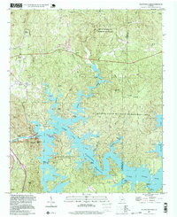
1961 Allatoona Dam
Bartow County, GA
1968 Allatoona Dam
Bartow County, GA
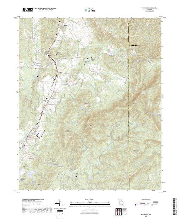
1972 White East
Bartow County, GA
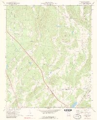
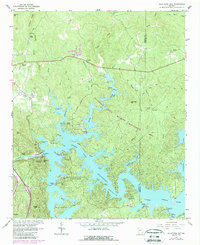
1972 White West
Bartow County, GA
1997 Allatoona Dam
Bartow County, GA
1997 White East
Bartow County, GA
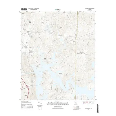
2011 Allatoona Dam
Bartow County, GA
2011 White East
Bartow County, GA
2011 White West
Bartow County, GA
2014 Allatoona Dam
Bartow County, GA
2014 White East
Bartow County, GA
2014 White West
Bartow County, GA
2017 Allatoona Dam
Bartow County, GA
2017 White East
Bartow County, GA
2017 White West
Bartow County, GA
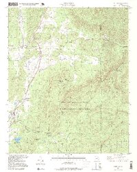
2020 Allatoona Dam
Bartow County, GA
2020 White East
Bartow County, GA
2020 White West
Bartow County, GA
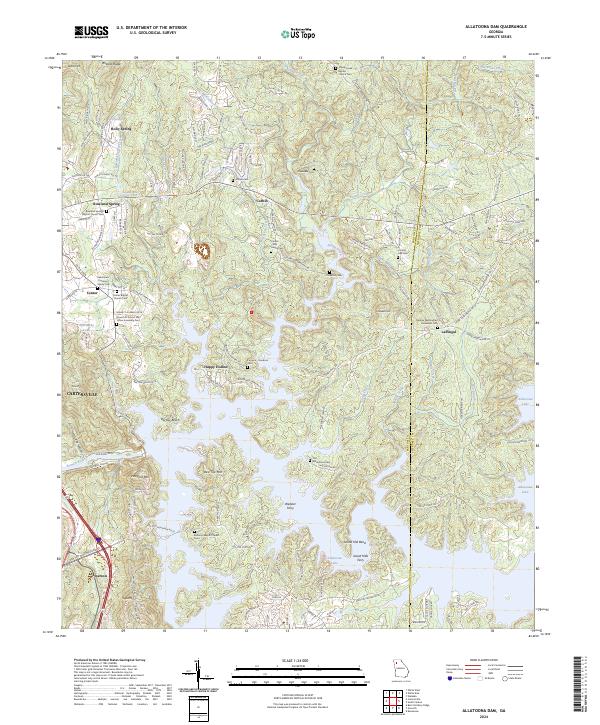
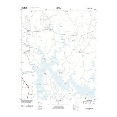
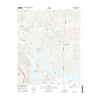
2024 Allatoona Dam
Bartow County, GA
2024 White East
Bartow County, GA
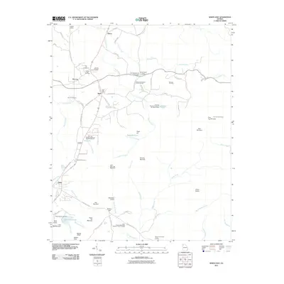
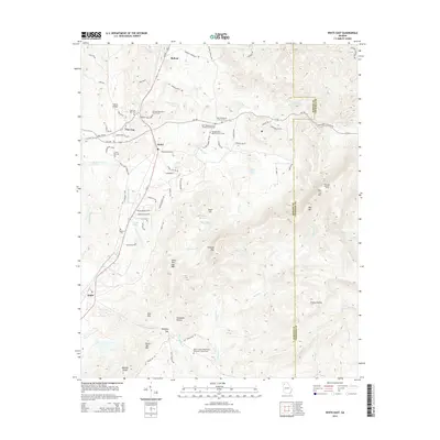
2024 White West
Bartow County, GA