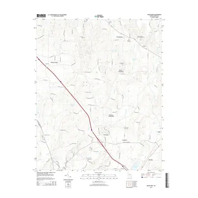
2014 Map of White West
USGS Topo · Published 2014About this map
Bunch Mountain rises in the northwest corner of this map, overlooking a landscape defined by the drainage networks of Cedar Cr and Dry Cr. The area is characterized by scattered crossroads communities such as Gum Springs, Pleasant Valley, and Dewey Crossroads, which serve as the primary nodes for a dense web of local roads. In the southern half, Two Run Cr winds past the community of Grassdale toward the larger settlement of White.
Find a feature on this map
117 named features on this map. Tap any name to fly to it.
Don’t see what you’re looking for? This feature index may not catch every label — zoom into the map to look around manually.
Map Details
Editions of this 2014 White West Map
This is the sole edition of this map. No revisions or reprints were ever made.
Other maps of this area

1890 · Cartersville
USGS Topo · 1:125,000

1891 · Cartersville
USGS Topo · 1:125,000

1896 · Cartersville
USGS Topo · 1:125,000

1906 · Stilesboro
USGS Topo · 1:62,500

1907 · Acworth
USGS Topo · 1:62,500

1908 · Stilesboro
USGS Topo · 1:62,500

1909 · Acworth
USGS Topo · 1:62,500

1941 · Adairsville
USGS Topo · 1:62,500

1944 · Adairsville
USGS Topo · 1:62,500

1947 · Waleska
USGS Topo · 1:62,500