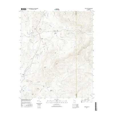
2017 Map of White East
USGS Topo · Published 2017About this map
Calico Valley and the surrounding heights of Pine Log Mtn define this section of the northern Georgia landscape. The map captures a high density of rural community centers, particularly around Rydal and Pine Log, where local life is anchored by institutions like the Fairview Methodist Church and the Oak Hill Baptist Church. This 2017 survey reflects a deeply established network of family landmarks and places of worship, including the Aubrey Family Cem and the Miller Chapel Independent Methodist Church Cem. The topography is marked by several prominent peaks such as Bear Mtn and Hanging Mtn, with drainage provided by the winding Stamp Cr and Pine Log Cr. The inclusion of various ponds and lakes like Falk Lake and Upper Aubrey Lake indicates the importance of these water sources to the local agricultural and residential character of the region.
Find a feature on this map
102 named features on this map. Tap any name to fly to it.
Don’t see what you’re looking for? This feature index may not catch every label — zoom into the map to look around manually.
Map Details
Editions of this 2017 White East Map
This is the sole edition of this map. No revisions or reprints were ever made.
Other maps of this area

1890 · Cartersville
USGS Topo · 1:125,000

1891 · Cartersville
USGS Topo · 1:125,000

1896 · Cartersville
USGS Topo · 1:125,000

1906 · Stilesboro
USGS Topo · 1:62,500

1907 · Acworth
USGS Topo · 1:62,500

1908 · Stilesboro
USGS Topo · 1:62,500

1909 · Acworth
USGS Topo · 1:62,500

1941 · Adairsville
USGS Topo · 1:62,500

1944 · Adairsville
USGS Topo · 1:62,500

1947 · Waleska
USGS Topo · 1:62,500