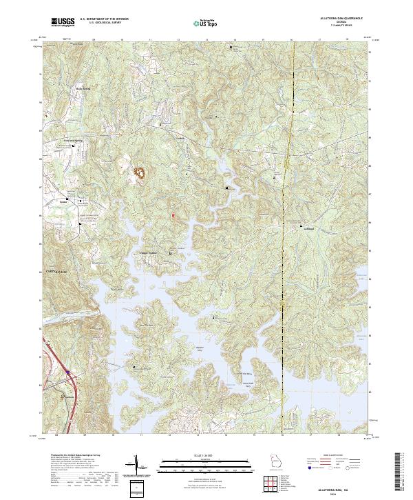
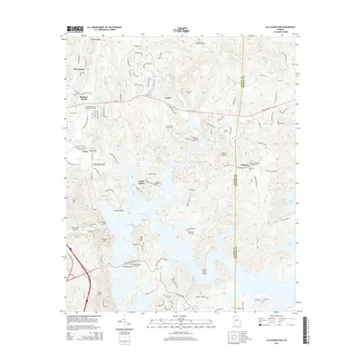
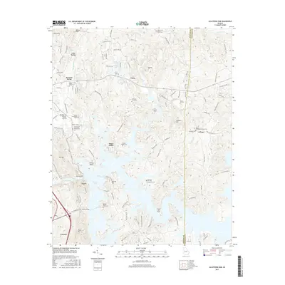
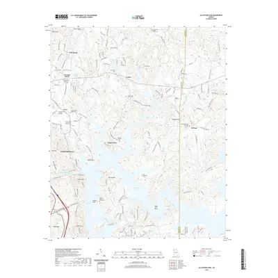
2024 Map of Allatoona Dam
USGS Topo · Published 2024About this map
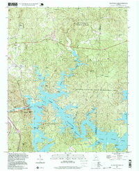
Allatoona Lake dominates the southern landscape of this Bartow County quadrangle, where the Etowah River feeds a complex shoreline defined by points and coves. The map documents a blend of recreation and deep-rooted local history, notably within Red Top State Park and around the surrounding peaks of Red Top Mtn and Vineyard Mtn. The terrain is marked by numerous family burial grounds and country churches that speak to the area's older rural settlements.
Find a feature on this map
135 named features on this map. Tap any name to fly to it.
Don’t see what you’re looking for? This feature index may not catch every label — zoom into the map to look around manually.
Map Details
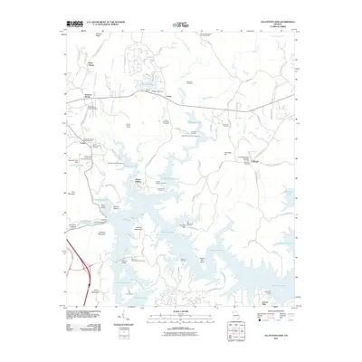
Editions of this 2024 Allatoona Dam Map
This is the sole edition of this map. No revisions or reprints were ever made.
Historical Maps of Cartersville Through Time
23 maps found

1906 Stilesboro
Bartow County, GA

1908 Stilesboro
Bartow County, GA
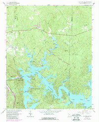
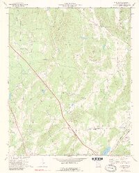
1961 Allatoona Dam
Bartow County, GA
1968 Allatoona Dam
Bartow County, GA
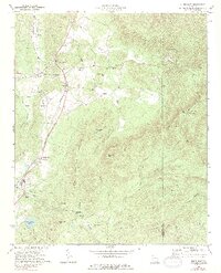
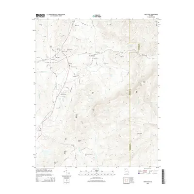
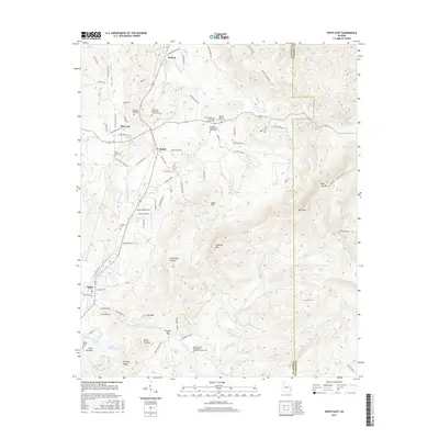
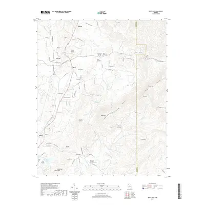
1972 White East
Bartow County, GA
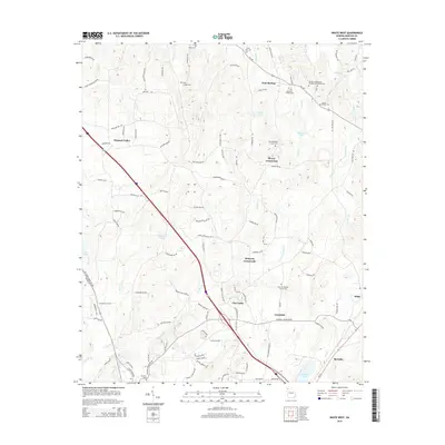
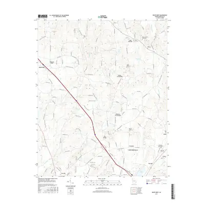
1972 White West
Bartow County, GA
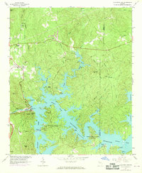
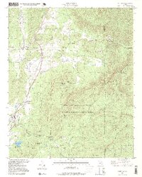
1997 Allatoona Dam
Bartow County, GA
1997 White East
Bartow County, GA
2011 Allatoona Dam
Bartow County, GA
2011 White East
Bartow County, GA
2011 White West
Bartow County, GA
2014 Allatoona Dam
Bartow County, GA
2014 White East
Bartow County, GA
2014 White West
Bartow County, GA
2017 Allatoona Dam
Bartow County, GA
2017 White East
Bartow County, GA
2017 White West
Bartow County, GA
2020 Allatoona Dam
Bartow County, GA
2020 White East
Bartow County, GA
2020 White West
Bartow County, GA
2024 Allatoona Dam
Bartow County, GA
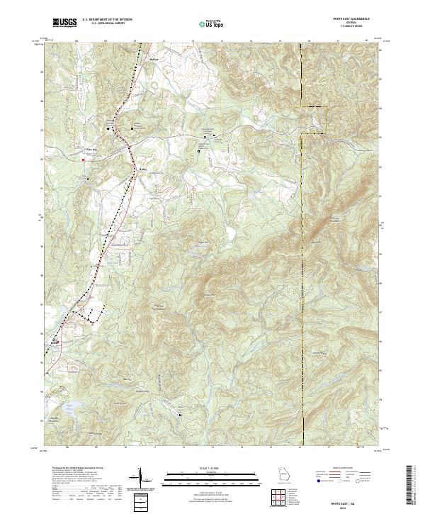
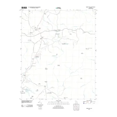
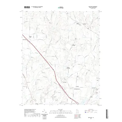
2024 White East
Bartow County, GA
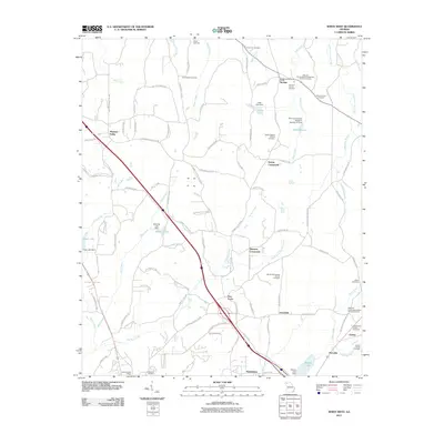
2024 White West
Bartow County, GA