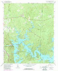
1961 Map of Allatoona Dam
USGS Topo · Published 1986About this map
Allatoona Lake dominates this north Georgia landscape, created by the construction of the Allatoona Dam across the Etowah River. This mid-century survey, with later revisions, shows the intricate shoreline that reshaped the region's geography, winding past Red Top Mtn and Island Mtn. Within the protected bounds of the Allatoona State Wildlife Management Area and Red Top Mountain State Park, the map preserves the location of many older landmarks. Genealogists can find several family and community burial grounds including Macedonia Cem, Goodson Cem, and Kay Cem. While newer recreation spots like the Atlanta Yacht Club appear along the water, the northern reaches maintain an older character with settlements like Holly Spring and Corbin near the ridge lines of Wildcat Ridge.
Find a feature on this map
62 named features on this map. Tap any name to fly to it.
Don’t see what you’re looking for? This feature index may not catch every label — zoom into the map to look around manually.
Map Details
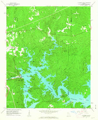
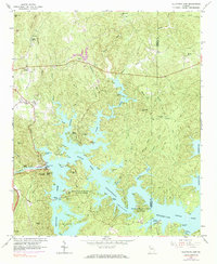
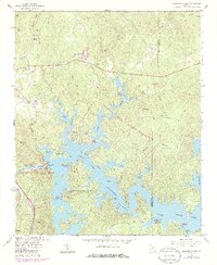
Editions of this 1961 Allatoona Dam Map
4 editions found
Other maps of this area

1890 · Cartersville
USGS Topo · 1:125,000

1891 · Cartersville
USGS Topo · 1:125,000

1896 · Cartersville
USGS Topo · 1:125,000

1906 · Stilesboro
USGS Topo · 1:62,500

1907 · Acworth
USGS Topo · 1:62,500

1908 · Stilesboro
USGS Topo · 1:62,500

1909 · Acworth
USGS Topo · 1:62,500

1941 · Adairsville
USGS Topo · 1:62,500

1944 · Adairsville
USGS Topo · 1:62,500

1947 · Waleska
USGS Topo · 1:62,500