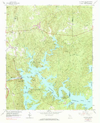
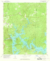
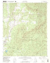
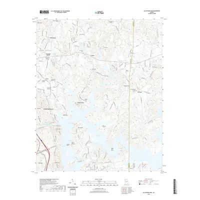
1961 Map of Allatoona Dam
USGS Topo · Published 1984About this map
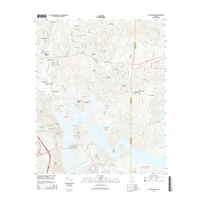
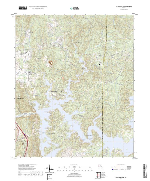
Allatoona Dam and the impounded waters of the Allatoona Reservoir dominate this 1961 landscape, where the Etowah River was harnessed for hydroelectric power and recreation. This survey, updated with 1968 aerial revisions, shows the intricate shoreline formed by flooded creek beds like Stamp Creek and Boston Creek. Along these rugged finger-lakes, the map documents a shift from rural settlement toward public land management, notably within Red Top Mountain State Park and George Washington Carver State Park.
Find a feature on this map
53 named features on this map. Tap any name to fly to it.
Don’t see what you’re looking for? This feature index may not catch every label — zoom into the map to look around manually.
Map Details
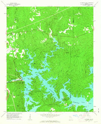
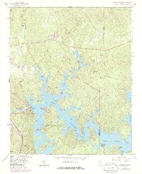
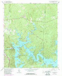
Editions of this 1961 Allatoona Dam Map
4 editions found
Historical Maps of Cartersville Through Time
23 maps found

1906 Stilesboro
Bartow County, GA

1908 Stilesboro
Bartow County, GA
1961 Allatoona Dam
Bartow County, GA
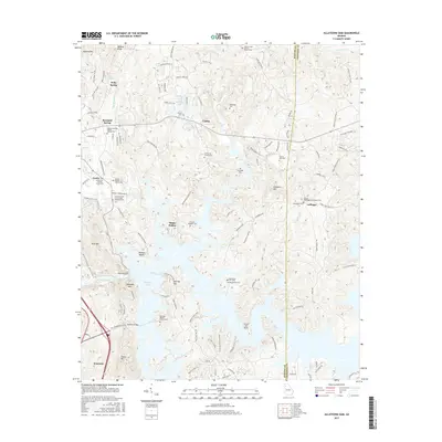
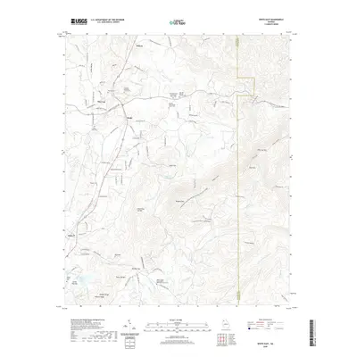
1968 Allatoona Dam
Bartow County, GA
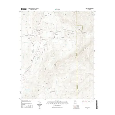
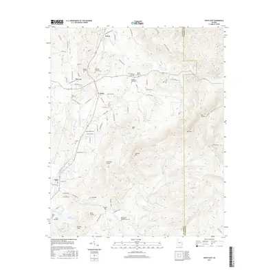
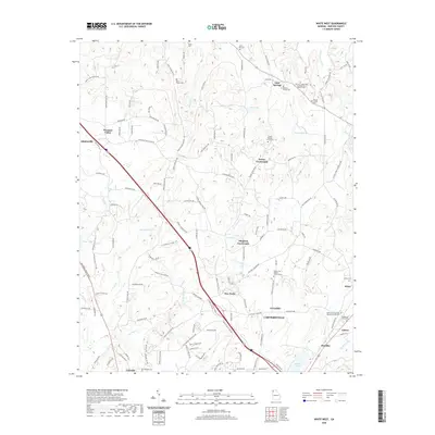
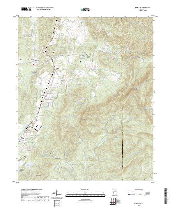
1972 White East
Bartow County, GA
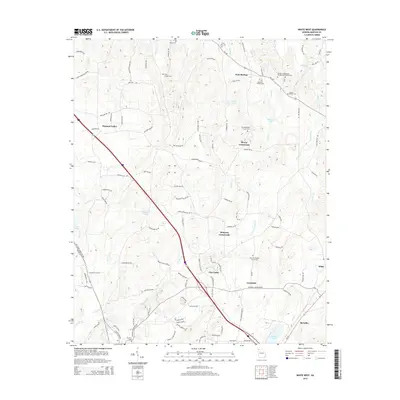
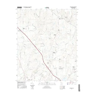
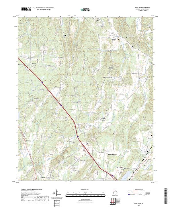
1972 White West
Bartow County, GA
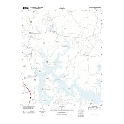
1997 Allatoona Dam
Bartow County, GA
1997 White East
Bartow County, GA
2011 Allatoona Dam
Bartow County, GA
2011 White East
Bartow County, GA
2011 White West
Bartow County, GA
2014 Allatoona Dam
Bartow County, GA
2014 White East
Bartow County, GA
2014 White West
Bartow County, GA
2017 Allatoona Dam
Bartow County, GA
2017 White East
Bartow County, GA
2017 White West
Bartow County, GA
2020 Allatoona Dam
Bartow County, GA
2020 White East
Bartow County, GA
2020 White West
Bartow County, GA
2024 Allatoona Dam
Bartow County, GA
2024 White East
Bartow County, GA
2024 White West
Bartow County, GA