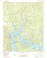
1961 Map of Allatoona Dam
USGS Topo · Published 1986About this map
Allatoona Lake dominates the landscape of this 1960s-era survey, which shows the extensive shoreline of the Etowah River reservoir as it appeared decades ago. The map documents the intricate network of coves and ridges that define the Allatoona State Wildlife Management Area and Red Top Mountain State Park. Local history is preserved through numerous family burial grounds and landmarks, including the Shinall Cem, Kay Cem, and Chitwood Cem near the banks of Stamp Creek. The engineering of the Allatoona Dam and its adjacent powerplant at the mouth of Hurricane Hollow represents the primary industrial footprint, contrasting with the dispersed rural settlements of Holly Spring and Laffingal. Genealogists may find value in tracing the early roads leading to Galts Ferry Landing or the Mt Olive Ch near the Bartow and Cherokee County line.
Find a feature on this map
59 named features on this map. Tap any name to fly to it.
Don’t see what you’re looking for? This feature index may not catch every label — zoom into the map to look around manually.
Map Details
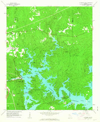
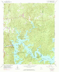
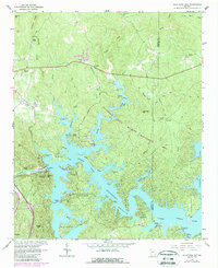
Editions of this 1961 Allatoona Dam Map
4 editions found
Other maps of this area

1890 · Cartersville
USGS Topo · 1:125,000

1891 · Cartersville
USGS Topo · 1:125,000

1896 · Cartersville
USGS Topo · 1:125,000

1906 · Stilesboro
USGS Topo · 1:62,500

1907 · Acworth
USGS Topo · 1:62,500

1908 · Stilesboro
USGS Topo · 1:62,500

1909 · Acworth
USGS Topo · 1:62,500

1941 · Adairsville
USGS Topo · 1:62,500

1944 · Adairsville
USGS Topo · 1:62,500

1947 · Waleska
USGS Topo · 1:62,500