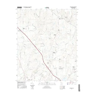
2017 Map of White West
USGS Topo · Published 2017About this map
Cartersville and the surrounding north Georgia landscape are defined by a network of rural crossroads and family settlements. The terrain transitions from the heights of Holtman Ridge down into the valleys of Two Run Creek and Pettit Creek, where numerous family-named landmarks suggest a deep-rooted local history. Small communities like Dewey Crossroads, Simpson Crossroads, and Five Forks anchor the rural road network, while larger hubs like Adairsville and White sit at the periphery. For genealogists, the map is remarkably dense with burial sites and rural congregations, including the Cassville Cemetery, Denman Family Cemetery, and Bartow Cumberland Presbyterian Church Cemetery. Water features such as Richards Lake, Manning Lake, and Clear Lake are scattered throughout, illustrating the drainage patterns of the Bartow County countryside during this mid-2010s survey.
Find a feature on this map
135 named features on this map. Tap any name to fly to it.
Don’t see what you’re looking for? This feature index may not catch every label — zoom into the map to look around manually.
Map Details
Editions of this 2017 White West Map
This is the sole edition of this map. No revisions or reprints were ever made.
Other maps of this area

1890 · Cartersville
USGS Topo · 1:125,000

1891 · Cartersville
USGS Topo · 1:125,000

1896 · Cartersville
USGS Topo · 1:125,000

1906 · Stilesboro
USGS Topo · 1:62,500

1907 · Acworth
USGS Topo · 1:62,500

1908 · Stilesboro
USGS Topo · 1:62,500

1909 · Acworth
USGS Topo · 1:62,500

1941 · Adairsville
USGS Topo · 1:62,500

1944 · Adairsville
USGS Topo · 1:62,500

1947 · Waleska
USGS Topo · 1:62,500