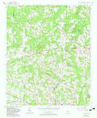
1954 Map of Lost Mountain
USGS Topo · Published 1983About this map
The Picketts Mill State Historical Site sits along the western edge of this Cobb County landscape, preserving the grounds of a significant Civil War battlefield near Picketts Creek. To the east, the terrain is defined by prominent elevations like Pine Mtn, Red Rock, and Lost Mtn, which overlook a network of rural communities including Davis Crossroads and Macland. The area's mid-century character is evident in its numerous local landmarks, such as the John McEachern Sch and country churches like Piney Grove Ch and New Friendship Ch. In the southern portion of the sheet, Powder Springs appears as a growing hub served by the Seaboard Coast Line railroad. This map provides a detailed look at the transition from agriculture to suburban development, with many family-named roads like Luther Ward Road and Gaydon Road still following historic property lines and district boundaries.
Find a feature on this map
49 named features on this map. Tap any name to fly to it.
Don’t see what you’re looking for? This feature index may not catch every label — zoom into the map to look around manually.
Map Details
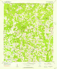
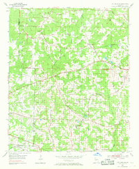
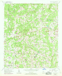
Editions of this 1954 Lost Mountain Map
4 editions found
Other maps of this area

1890 · Cartersville
USGS Topo · 1:125,000

1891 · Marietta
USGS Topo · 1:125,000

1891 · Cartersville
USGS Topo · 1:125,000

1895 · Marietta
USGS Topo · 1:125,000

1896 · Cartersville
USGS Topo · 1:125,000

1897 · Marietta
USGS Topo · 1:125,000

1901 · Marietta
USGS Topo · 1:125,000

1906 · Stilesboro
USGS Topo · 1:62,500

1907 · Acworth
USGS Topo · 1:62,500

1908 · Stilesboro
USGS Topo · 1:62,500