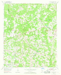
1954 Map of Lost Mountain
USGS Topo · Published 1968About this map
Lost Mountain rises as a prominent landmark in western Cobb County during the mid-1950s, anchoring a landscape defined by traditional rural communities and a network of small churches. Small settlements like Davis Crossroads, Due West, and Macland serve as local hubs, while the John McEachern Sch stands as a significant educational fixture in the southern portion of the quadrangle. The area is heavily divided by the historic land lot system of the 20th District and 19th District, with several family and community landmarks such as the Red Rock Community Club and Cheatham Hill Community Club providing social centers for residents.
Find a feature on this map
39 named features on this map. Tap any name to fly to it.
Don’t see what you’re looking for? This feature index may not catch every label — zoom into the map to look around manually.
Map Details
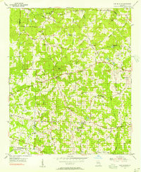
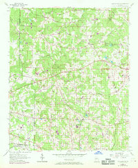
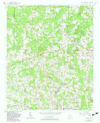
Editions of this 1954 Lost Mountain Map
4 editions found
Other maps of this area

1890 · Cartersville
USGS Topo · 1:125,000

1891 · Marietta
USGS Topo · 1:125,000

1891 · Cartersville
USGS Topo · 1:125,000

1895 · Marietta
USGS Topo · 1:125,000

1896 · Cartersville
USGS Topo · 1:125,000

1897 · Marietta
USGS Topo · 1:125,000

1901 · Marietta
USGS Topo · 1:125,000

1906 · Stilesboro
USGS Topo · 1:62,500

1907 · Acworth
USGS Topo · 1:62,500

1908 · Stilesboro
USGS Topo · 1:62,500