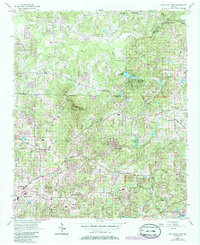
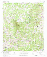
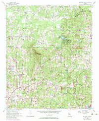
1956 Map of Mountain Park
USGS Topo · Published 1986About this map
Sweat Mountain anchors this landscape where the boundaries of Cherokee, Cobb, and Fulton counties converge. In the mid-1950s, this region remained largely defined by its rural road network and scattered communities like Greenway and Sandy Plains. The distribution of rural landmarks, such as Wesley Chapel and the Mountain View Sch, illustrates a community structured around small gathering places and family farms before the late-century suburban expansion. Small impoundments like Garrett Lake and Bishop Lake dot the drainages of Willeo Creek and Cherokee Creek, which eventually lead south to the Chattahoochee River.
Find a feature on this map
49 named features on this map. Tap any name to fly to it.
Don’t see what you’re looking for? This feature index may not catch every label — zoom into the map to look around manually.
Map Details
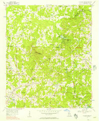
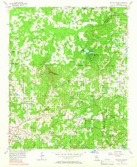
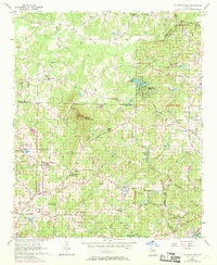
Editions of this 1956 Mountain Park Map
6 editions found
Other maps of this area

1888 · Atlanta
USGS Topo · 1:125,000

1890 · Suwanee
USGS Topo · 1:125,000

1890 · Cartersville
USGS Topo · 1:125,000

1890 · Atlanta
USGS Topo · 1:125,000

1891 · Marietta
USGS Topo · 1:125,000

1891 · Cartersville
USGS Topo · 1:125,000

1892 · Atlanta
USGS Topo · 1:125,000

1894 · Suwanee
USGS Topo · 1:125,000

1895 · Atlanta
USGS Topo · 1:125,000

1895 · Marietta
USGS Topo · 1:125,000