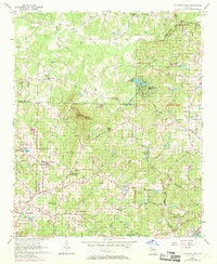
1956 Map of Mountain Park
USGS Topo · Published 1969About this map
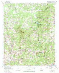
Sweat Mountain and its Lookout Tower dominate the central landscape of this North Georgia territory, which spans the junctions of Cobb, Fulton, and Cherokee counties. The area transitioned during the mid-1950s and late 1960s from a rural agrarian landscape into a collection of growing communities, centered around crossroads like Sandy Plains and the incorporated town of Mountain Park. Numerous local institutions serve as focal points for historical research, including the Mountain View Sch, Wesley Chapel, and Mt Zion Ch. The network of creeks—such as Rocky Creek and Willeo Creek—flows toward the Chattahoochee River in the south, while older industry is represented by Arnold Mill in the northeast. Large water bodies like Lake Cheerful and Bishop Lake reflect the suburban development and recreational shifts occurring in the region during this era.
Find a feature on this map
69 named features on this map. Tap any name to fly to it.
Don’t see what you’re looking for? This feature index may not catch every label — zoom into the map to look around manually.
Map Details
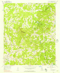
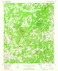
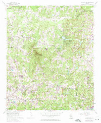
Editions of this 1956 Mountain Park Map
6 editions found
Other maps of this area

1888 · Atlanta
USGS Topo · 1:125,000

1890 · Suwanee
USGS Topo · 1:125,000

1890 · Cartersville
USGS Topo · 1:125,000

1890 · Atlanta
USGS Topo · 1:125,000

1891 · Marietta
USGS Topo · 1:125,000

1891 · Cartersville
USGS Topo · 1:125,000

1892 · Atlanta
USGS Topo · 1:125,000

1894 · Suwanee
USGS Topo · 1:125,000

1895 · Atlanta
USGS Topo · 1:125,000

1895 · Marietta
USGS Topo · 1:125,000