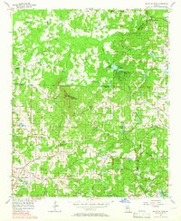
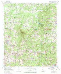
1956 Map of Mountain Park
USGS Topo · Published 1966About this map
Mountain Park serves as a central landmark in this mid-century survey of the rugged boundaries between Cobb, Fulton, and Cherokee counties. The landscape is characterized by a dense network of country roads such as Shallow Ford Road and Holly Springs Road, which connect rural communities and family-owned lands. Notable elevations include Sweat Mountain, topped with a Lookout Tower, which overlooks the winding course of the Little River and several local water bodies including Lake Cheerful and Garrett Lake.
Find a feature on this map
72 named features on this map. Tap any name to fly to it.
Don’t see what you’re looking for? This feature index may not catch every label — zoom into the map to look around manually.
Map Details
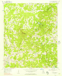
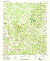
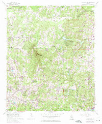
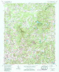
Editions of this 1956 Mountain Park Map
6 editions found
Other maps of this area

1888 · Atlanta
USGS Topo · 1:125,000

1890 · Suwanee
USGS Topo · 1:125,000

1890 · Cartersville
USGS Topo · 1:125,000

1890 · Atlanta
USGS Topo · 1:125,000

1891 · Marietta
USGS Topo · 1:125,000

1891 · Cartersville
USGS Topo · 1:125,000

1892 · Atlanta
USGS Topo · 1:125,000

1894 · Suwanee
USGS Topo · 1:125,000

1895 · Atlanta
USGS Topo · 1:125,000

1895 · Marietta
USGS Topo · 1:125,000